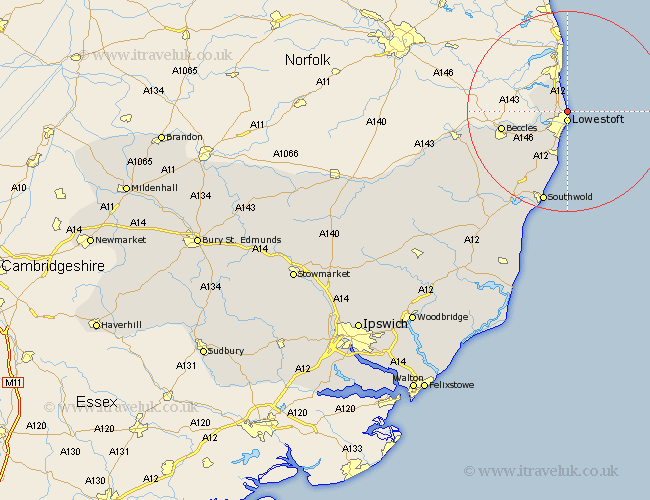
Suffolk Map Showing Location of Gunton
District: Waveney
Easting: 654490 Northing: 295773
Latitude: 52.5 Longitude: 1.75
 = Gunton
Easting: 654490 Northing: 295773
Latitude: 52.5 Longitude: 1.75
= Gunton
This Gunton map below is supplied by Google. Use the tools in the top left corner to zoom into street level or zoom out for a road map, you may also need to zoom in to see Gunton on the map. Click and drag the map to move around. If the map fails to load try and refresh your browser or zoom in or out (+ or -).
Update - it seems Google no longer allow people to use their maps for free! This Gunton map sometimes loads and sometimes gives a error. I am working on a solution.
Closest 30 Towns or Cities to Gunton (Population over 500)
Lowestoft 1.86km Corton 2.17km Oulton 2.17km Carlton Colville 6.51km Gisleham 7.75km Kessingland 9.53km Worlingham 12.58km Beccles 12.96km Wrentham 13.74km Reydon 17.61km Wangford 18.97km Southwold 19.08km Bungay 21.07km Halesworth 23.78km Holton 24.37km Wenhaston 24.48km Cookley 28.8km Yoxford 30.39km Laxfield 34.22km Fressingfield 34.77km Leiston 35.61km Saxmundham 35.79km Thorpe 38.15km Thorpeness 38.15km Stradbroke 38.61km Snape 39.1km Dennington 40.07km Aldeburgh 40.23km Hoxne 40.85km Framlingham 42.34km