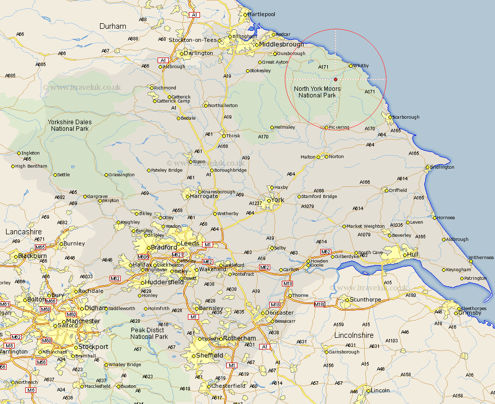
Yorkshire Map Showing Location of Grosmont
Population: 335
District: Scarborough
Easting: 483235 Northing: 504982
Latitude: 54.43 Longitude: -0.72
 = Grosmont
District: Scarborough
Easting: 483235 Northing: 504982
Latitude: 54.43 Longitude: -0.72
= Grosmont
This Grosmont map below is supplied by Google. Use the tools in the top left corner to zoom into street level or zoom out for a road map, you may also need to zoom in to see Grosmont on the map. Click and drag the map to move around. If the map fails to load try and refresh your browser or zoom in or out (+ or -).
Update - it seems Google no longer allow people to use their maps for free! This Grosmont map sometimes loads and sometimes gives a error. I am working on a solution.
Closest 30 Towns or Cities to Grosmont (Population over 500)
Sleights 3.73km Whitby 8.14km Hawsker 9.88km Hinderwell 11.58km Fylingdales 12km Loftus 16.86km Brotton 20.39km Pickering 20.64km Cloughton 21.45km Skelton 21.56km Skelton-in-Cleveland 21.56km Thornton Dale 22.24km Thornton-le-Dale 22.24km Burniston 22.47km Kirkby Moorside 23.25km Kirby Moorside 23.25km Saltburn by the Sea 23.97km Saltburn 23.97km Saltburn-by-the-Sea 23.97km Guisborough 24.23km Ingleby 24.79km Scalby 24.8km Scarborough 25.46km Snainton 25.59km Marske-by-the-Sea 26.3km Marske by the Sea 26.3km Marske 26.3km Brompton 26.4km Yedingham 26.74km Great Ayton 27.93km