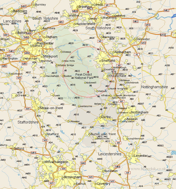
Derbyshire Map Showing Location of Grindleford
Population: 880
District: Derbyshire Dales
Easting: 424443 Northing: 376351
Latitude: 53.28 Longitude: -1.63
 = Grindleford
District: Derbyshire Dales
Easting: 424443 Northing: 376351
Latitude: 53.28 Longitude: -1.63
= Grindleford
This Grindleford map below is supplied by Google. Use the tools in the top left corner to zoom into street level or zoom out for a road map, you may also need to zoom in to see Grindleford on the map. Click and drag the map to move around. If the map fails to load try and refresh your browser or zoom in or out (+ or -).
Update - it seems Google no longer allow people to use their maps for free! This Grindleford map sometimes loads and sometimes gives a error. I am working on a solution.
Closest 30 Towns or Cities to Grindleford (Population over 500)
Stoney Middleton 2.15km Stony Middleton 2.15km Eyam 2.22km Hathersage 3.88km Baslow 5.67km Great Longstone 7.11km Longstone 7.11km Holmesfield 7.76km Bamford 8.13km Bradwell 8.6km Tideswell 9.06km Bakewell 9.52km Barlow 10.14km Castleton 10.46km Old Brampton 10.47km Brampton 10.47km Hope 10.73km Dronfield 11.23km Darley Dale 13.15km Unstone 13.3km Walton 13.34km Youlgreave 13.7km Middleton 14.1km Chesterfield 14.88km Brimington 15.95km Wingerworth 16.21km Ashover 16.36km Winster 16.72km Eckington 17.82km Matlock 17.96km