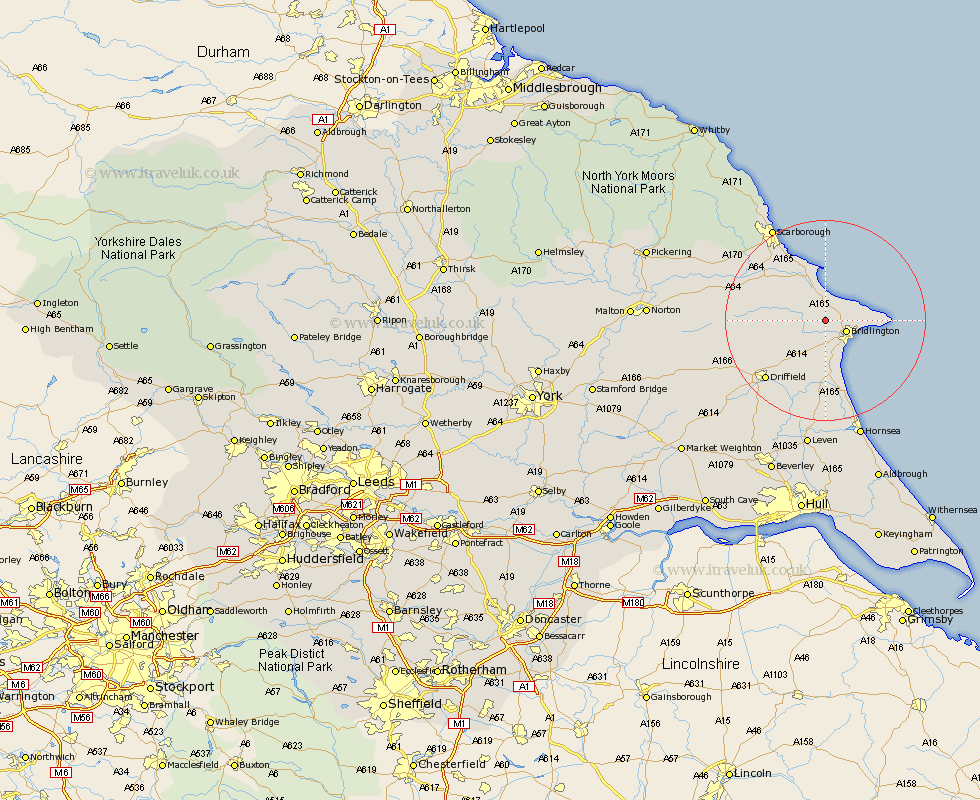
Yorkshire Map Showing Location of Grindale
Population: 98
Easting: 513284 Northing: 470389
Latitude: 54.12 Longitude: -0.27
 = Grindale
Easting: 513284 Northing: 470389
Latitude: 54.12 Longitude: -0.27
= Grindale
This Grindale map below is supplied by Google. Use the tools in the top left corner to zoom into street level or zoom out for a road map, you may also need to zoom in to see Grindale on the map. Click and drag the map to move around. If the map fails to load try and refresh your browser or zoom in or out (+ or -).
Update - it seems Google no longer allow people to use their maps for free! This Grindale map sometimes loads and sometimes gives a error. I am working on a solution.
Closest 30 Towns or Cities to Grindale (Population over 500)
Bridlington 4.52km Hunmanby 6.44km Bempton 6.77km Kilham 9.88km Flamborough 9.95km Filey 10.48km Great Driffield 11.02km Nafferton 13.48km Willerby 14.05km Cayton 14.51km Eastfield 15.6km Driffield 16.37km Beeford 16.68km Seamer 16.9km Skipsea 17km Sherburn 17.21km Dunnington 18.57km Scarborough 21.25km Scalby 21.46km Cranswick 21.5km Brompton 21.54km North Frodingham 21.87km Brandesburton 22.35km Brandsburton 22.35km Snainton 23.42km Wetwang 23.49km Yedingham 24.6km Burniston 24.74km Hornsea 24.97km Leven 26.16km