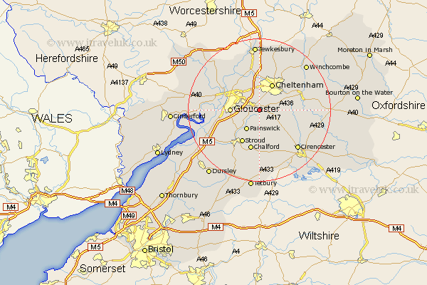
Gloucestershire Map Showing Location of Whitcomb
Population: 80
District: Tewkesbury
Easting: 390813 Northing: 215023
Latitude: 51.83 Longitude: -2.13
 = Whitcomb
District: Tewkesbury
Easting: 390813 Northing: 215023
Latitude: 51.83 Longitude: -2.13
= Whitcomb
This Whitcomb map below is supplied by Google. Use the tools in the top left corner to zoom into street level or zoom out for a road map, you may also need to zoom in to see Whitcomb on the map. Click and drag the map to move around. If the map fails to load try and refresh your browser or zoom in or out (+ or -).
Update - it seems Google no longer allow people to use their maps for free! This Whitcomb map sometimes loads and sometimes gives a error. I am working on a solution.
Closest 30 Towns or Cities to Whitcomb (Population over 500)
Brockworth 2.95km Shurdington 3.89km Hucclecote 3.9km Leckhampton 5.06km Charlton Kings 5.9km Churchdown 6.01km Painswick 6.54km Innsworth 7.2km Gloucester 8.02km Cheltenham 8.17km Staverton 9.55km Stroud 10.34km Quedgeley 10.47km Randwick 10.92km Swindon 11.35km Chalford 11.35km Hardwicke 11.6km Southam 12.5km Withington 12.6km Andoversford 13.13km North Cerney 13.65km Bishops Cleeve 13.76km Stonehouse 13.86km Ashleworth 14.4km Woodchester 14.68km Hartpury 14.73km Minchinhampton 15km Cicester 15.17km Cirencester 15.17km Chedworth 15.35km