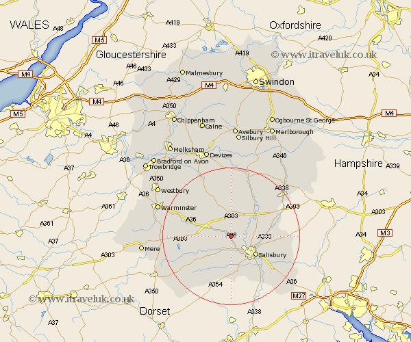
Wiltshire Map Showing Location of Great Wishford
Population: 336
District: Salisbury
Easting: 408165 Northing: 135333
Latitude: 51.12 Longitude: -1.88
 = Great Wishford
District: Salisbury
Easting: 408165 Northing: 135333
Latitude: 51.12 Longitude: -1.88
= Great Wishford
This Great Wishford map below is supplied by Google. Use the tools in the top left corner to zoom into street level or zoom out for a road map, you may also need to zoom in to see Great Wishford on the map. Click and drag the map to move around. If the map fails to load try and refresh your browser or zoom in or out (+ or -).
Update - it seems Google no longer allow people to use their maps for free! This Great Wishford map sometimes loads and sometimes gives a error. I am working on a solution.
Closest 30 Towns or Cities to Great Wishford (Population over 500)
South Newton 2.19km Wilton 3.89km Steeple Langford 3.95km Longford 3.95km Shrewton 7.5km Dinton 7.91km Lark Hill 8.75km Amesbury 8.92km New Sarum 8.93km Salisbury 8.93km Winterbourne 9.49km Winterbourne Dauntsey 9.49km Coombe Bissett 9.56km Combebissett 9.56km Durrington 11km Fovant 11.02km Bishopstone 11.18km Odstock 11.61km Broad Chalke 11.66km Idmiston 11.78km Codford 12.2km Bulford 12.33km Britford 12.35km Figheldean 13.12km Alderbury 13.99km Netheravon 14.72km Tisbury 15.03km Winterslow 15.58km Farley 15.82km Enford 15.92km