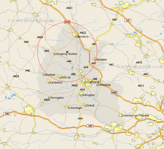
Oxfordshire Map Showing Location of Tew
Population: 153
District: West Oxfordshire
Easting: 440086 Northing: 228153
Latitude: 51.95 Longitude: -1.42
 = Tew
= Tew
District: West Oxfordshire
Easting: 440086 Northing: 228153
Latitude: 51.95 Longitude: -1.42
= Tew
This Tew map below is supplied by Google. Use the tools in the top left corner to zoom into street level or zoom out for a road map, you may also need to zoom in to see Tew on the map. Click and drag the map to move around. If the map fails to load try and refresh your browser or zoom in or out (+ or -).
Update - it seems Google no longer allow people to use their maps for free! This Tew map sometimes loads and sometimes gives a error. I am working on a solution.
Closest 30 Towns or Cities to Tew (Population over 500)
Enstone 4.35km Barford 5.04km Barford St. John 5.04km Barford St John 5.04km Barford Saint John 5.04km Hook Norton 5.88km Duns Tew 6.01km Bloxham 6.53km Deddington 7.79km Chipping Norton 8.13km Steeple Aston 8.81km Adderbury 8.82km Charlbury 9.88km Chadlington 10.1km Upper Heyford 10.45km Tackley 11.53km Banbury 12.5km Fritwell 12.57km Churchill 12.71km Stonesfield 13.03km Wroxton 13.03km Woodstock 13.07km Ardley 13.83km Kirtlington 13.84km Barton 14.19km Kingham 14.8km Bletchingdon 15.15km Bladon 15.51km Shipton-under-Wychwood 15.95km Shipton 15.95km