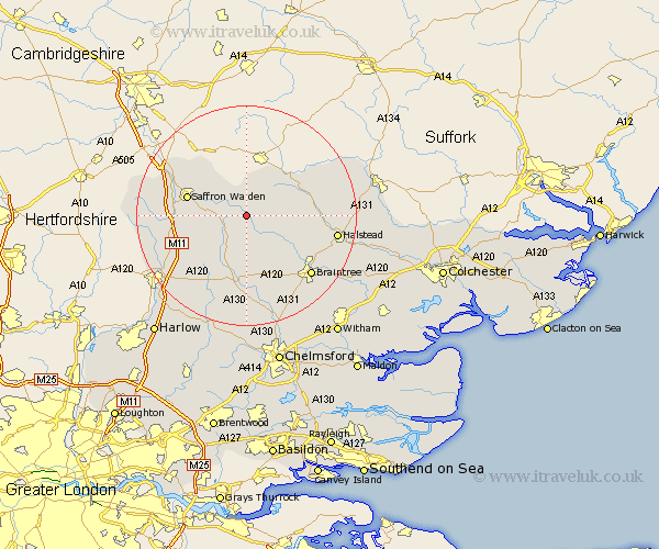
Essex Map Showing Location of Great Sampford
Population: 509
District: Uttlesford
Easting: 564795 Northing: 234416
Latitude: 51.98 Longitude: 0.4
 = Great Sampford
District: Uttlesford
Easting: 564795 Northing: 234416
Latitude: 51.98 Longitude: 0.4
= Great Sampford
This Great Sampford map below is supplied by Google. Use the tools in the top left corner to zoom into street level or zoom out for a road map, you may also need to zoom in to see Great Sampford on the map. Click and drag the map to move around. If the map fails to load try and refresh your browser or zoom in or out (+ or -).
Update - it seems Google no longer allow people to use their maps for free! This Great Sampford map sometimes loads and sometimes gives a error. I am working on a solution.
Closest 30 Towns or Cities to Great Sampford (Population over 500)
Finchingfield 3.89km Thaxted 4.35km Radwinter 4.93km Wimbeis 6km Wenbech 6km Gwimbach 6km Wimbish 6km Wymbyshe 6km Winebisc 6km Winbeche 6km Steeple Bumpstead 6.53km Wethersfield 6.8km Great Bardfield 7.97km Shalford 8.82km Toppesfield 9.32km Debden 9.32km Ashdon 9.36km Broxted 10.09km Newport 10.27km Great Easton 10.33km Saffron Walden 10.92km Stebbing 11.18km Great Dunmow 11.35km Dunmow 11.35km Henham 11.69km Ridgwell 11.76km Ridgewell 11.76km Yeldham 12km Great Yeldham 12km Sible Hedingham 12.69km