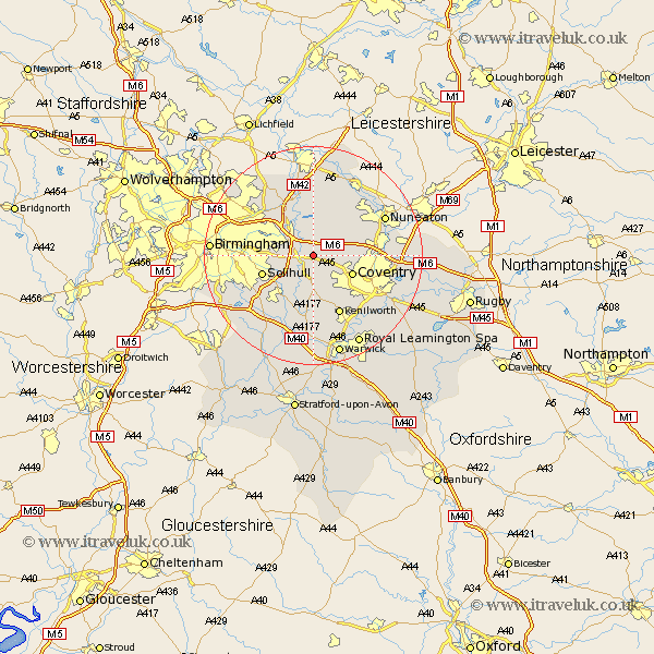
Warwickshire Map Showing Location of Great Packington
Population: 128
District: North Warwickshire
Easting: 423783 Northing: 283659
Latitude: 52.45 Longitude: -1.65
 = Great Packington
District: North Warwickshire
Easting: 423783 Northing: 283659
Latitude: 52.45 Longitude: -1.65
= Great Packington
This Great Packington map below is supplied by Google. Use the tools in the top left corner to zoom into street level or zoom out for a road map, you may also need to zoom in to see Great Packington on the map. Click and drag the map to move around. If the map fails to load try and refresh your browser or zoom in or out (+ or -).
Update - it seems Google no longer allow people to use their maps for free! This Great Packington map sometimes loads and sometimes gives a error. I am working on a solution.
Closest 30 Towns or Cities to Great Packington (Population over 500)
Meriden 2.92km Bickenhill 4.52km Fillongley 4.88km Hampton in Arden 5.02km Shustoke 5.67km Berkeswell 5.67km Berkswell 5.67km Coleshill 6.51km Corley 6.78km Arley 7.16km Coventry 7.73km Allesley 7.73km Water Orton 7.92km Keresley 8.12km Nether Whitacre 9.26km Knowle 9.32km Temple Balsall 9.53km Solihull 9.77km Castle Bromwich 10.6km Hurley 11.18km Kingsbury 11.35km Kenilworth 12km Bedworth 12.56km Stoneleigh 14.33km Nuneaton 14.46km Baginton 14.62km Atherstone 14.64km Lapworth 14.64km Rowington 15.21km Mancetter 15.8km