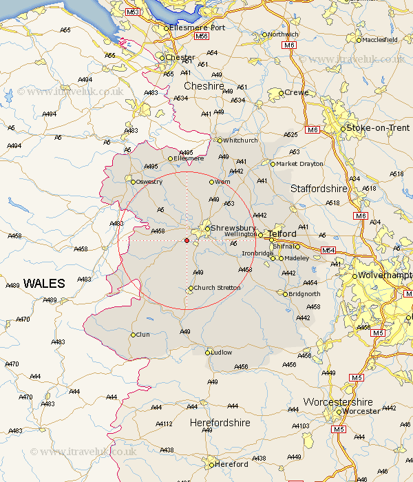
Shropshire Map Showing Location of Great Hanwood
Population: 1023
District: Shrewsbury and Atcham
Easting: 344798 Northing: 309862
Latitude: 52.68 Longitude: -2.82
 = Great Hanwood
District: Shrewsbury and Atcham
Easting: 344798 Northing: 309862
Latitude: 52.68 Longitude: -2.82
= Great Hanwood
This Great Hanwood map below is supplied by Google. Use the tools in the top left corner to zoom into street level or zoom out for a road map, you may also need to zoom in to see Great Hanwood on the map. Click and drag the map to move around. If the map fails to load try and refresh your browser or zoom in or out (+ or -).
Update - it seems Google no longer allow people to use their maps for free! This Great Hanwood map sometimes loads and sometimes gives a error. I am working on a solution.
Closest 30 Towns or Cities to Great Hanwood (Population over 500)
Ford 4.34km Baystonhill 4.86km Bicton 5.56km Pontesbury 5.82km Condover 5.82km Shrewsbury 6.73km Berrington 8.7km Westbury 8.99km Minsterley 9.63km Alberbury 9.72km Great Ness 10.84km Hadnall 11.46km Baschurch 11.62km Rodington 14.58km Cressage 14.59km Church Stretton 14.86km Kinnerley 15.8km Shawbury 15.8km Shelve 15.82km High Ercall 16.37km Ercall Magna 16.37km Wrockwardine 16.95km West Felton 18.6km Stanton upon Hine Heath 18.6km Stanton 18.6km Cockshut 18.67km Cockshutt 18.67km Rushbury 19.72km Wem 19.72km Pant 20.17km