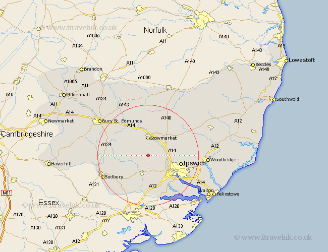
Suffolk Map Showing Location of Great Bricett
Population: 1193
District: Mid Suffolk
Easting: 604232 Northing: 250730
Latitude: 52.12 Longitude: 0.98
 = Great Bricett
District: Mid Suffolk
Easting: 604232 Northing: 250730
Latitude: 52.12 Longitude: 0.98
= Great Bricett
This Great Bricett map below is supplied by Google. Use the tools in the top left corner to zoom into street level or zoom out for a road map, you may also need to zoom in to see Great Bricett on the map. Click and drag the map to move around. If the map fails to load try and refresh your browser or zoom in or out (+ or -).
Update - it seems Google no longer allow people to use their maps for free! This Great Bricett map sometimes loads and sometimes gives a error. I am working on a solution.
Closest 30 Towns or Cities to Great Bricett (Population over 500)
Ringshall 1.85km Somersham 4.92km Bildeston 4.92km Hitcham 5.69km Great Finborough 6.52km Finborough 6.52km Stowmarket 7.41km Hadleigh 7.76km Great Blakenham 8.18km Hintlesham 8.7km Coddenham 9.29km Bramford 9.72km Claydon 9.84km Rattlesden 10.07km Sproughton 10.89km Sprughton 10.89km Haughley 11.12km Layham 11.18km Old Newton 11.35km Henley 11.38km Woolpit 12.49km Lavenham 12.66km Ipswich 13.06km Boxford 13.68km Elmswell 13.74km Witnesham 13.78km Wirnesham 13.78km Cockfield 14.14km Capel 14.17km Capel St. Mary 14.17km