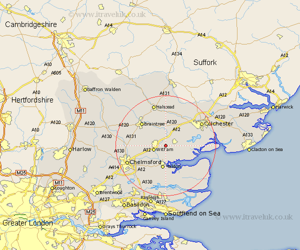
Essex Map Showing Location of Great Braxted
Population: 323
District: Maldon
Easting: 586147 Northing: 214759
Latitude: 51.8 Longitude: 0.7
 = Great Braxted
District: Maldon
Easting: 586147 Northing: 214759
Latitude: 51.8 Longitude: 0.7
= Great Braxted
This Great Braxted map below is supplied by Google. Use the tools in the top left corner to zoom into street level or zoom out for a road map, you may also need to zoom in to see Great Braxted on the map. Click and drag the map to move around. If the map fails to load try and refresh your browser or zoom in or out (+ or -).
Update - it seems Google no longer allow people to use their maps for free! This Great Braxted map sometimes loads and sometimes gives a error. I am working on a solution.
Closest 30 Towns or Cities to Great Braxted (Population over 500)
Tiptree 2.29km Wickham Bishops 2.95km Kelvedon 3.71km Rivenhall 4.35km Witham 4.95km Feering 5.68km Tolleshunt Knights 6.02km Hatfield Peverel 7.12km Tolleshunt Major 7.21km Heybridge 7.5km Coggeshall 7.5km Tolleshunt D'Arcy 7.81km Goldhanger 8.18km Birch 8.83km Copford 8.84km Cressing 8.84km Maldon 9.33km Malden 9.33km Bradwell 9.37km Marks Tey 9.37km Terling 10.31km Tollesbury 10.73km Stisted 10.89km Rayne 10.92km Layer de la Haye 10.96km Boreham 10.96km Great Tey 11.64km Black Notley 11.71km Little Baddow 11.8km Woodham Mortimer 12.03km