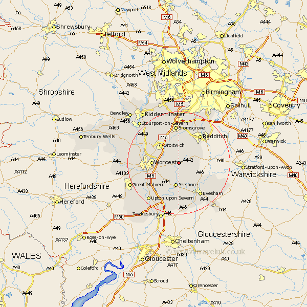
Worcestershire Map Showing Location of Grafton Flyford
Population: 137
District: Wychavon
Easting: 396583 Northing: 255797
Latitude: 52.2 Longitude: -2.05
 = Grafton Flyford
District: Wychavon
Easting: 396583 Northing: 255797
Latitude: 52.2 Longitude: -2.05
= Grafton Flyford
This Grafton Flyford map below is supplied by Google. Use the tools in the top left corner to zoom into street level or zoom out for a road map, you may also need to zoom in to see Grafton Flyford on the map. Click and drag the map to move around. If the map fails to load try and refresh your browser or zoom in or out (+ or -).
Update - it seems Google no longer allow people to use their maps for free! This Grafton Flyford map sometimes loads and sometimes gives a error. I am working on a solution.
Closest 30 Towns or Cities to Grafton Flyford (Population over 500)
Bishampton 4.34km Crowle 4.54km Inkberrow 5.68km Peopleton 6.52km Feckenham 7.18km Hanbury 7.42km Church Lench 8.8km Pershore 9.33km Fladbury 9.54km Astwood Bank 9.7km Droitwich 10.07km Worcester 10.22km Fernhill Heath 10.87km Stoke Prior 11.18km Wadborough 11.5km Harvington 11.73km Charlton 12.01km Kempsey 12.64km Cropthorne 13.41km Radditch 13.66km Redditch 13.66km Defford 13.75km Hallow 13.75km Grimley 14.12km Powick 14.13km Offenham 14.37km Ombersley 14.52km Cleeve Prior 14.54km Holt 14.71km Bromsgrove 14.87km