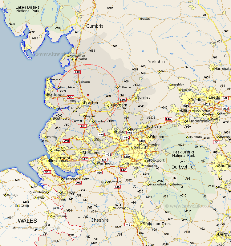
Lancashire Map Showing Location of Goosnargh
Population: 1204
District: Preston
Easting: 356112 Northing: 435831
Latitude: 53.82 Longitude: -2.67
 = Goosnargh
District: Preston
Easting: 356112 Northing: 435831
Latitude: 53.82 Longitude: -2.67
= Goosnargh
This Goosnargh map below is supplied by Google. Use the tools in the top left corner to zoom into street level or zoom out for a road map, you may also need to zoom in to see Goosnargh on the map. Click and drag the map to move around. If the map fails to load try and refresh your browser or zoom in or out (+ or -).
Update - it seems Google no longer allow people to use their maps for free! This Goosnargh map sometimes loads and sometimes gives a error. I am working on a solution.
Closest 30 Towns or Cities to Goosnargh (Population over 500)
Grimsargh 2.87km Broughton 4.38km Barton 4.38km Longridge 5.77km Woodplumpton 5.78km Claughton-on-Brock 6.46km Claughton on Brock 6.46km Claughton 6.46km Preston 6.46km Samlesbury 6.46km Catterall 8.6km Penwortham 8.61km Ribchester 8.95km Chipping 9.21km Lea 10.37km Lea Town 10.37km Mellor 10.37km Inskip 11.09km Farington 11.33km Farrington 11.33km Garstang 11.35km Hutton 11.37km Hoghton 12.39km Wilpshire 12.6km Great Eccleston 13.64km Eccleston 13.64km Kirkham 13.65km Blackburn 14.15km Longton 14.16km Elswick 14.34km