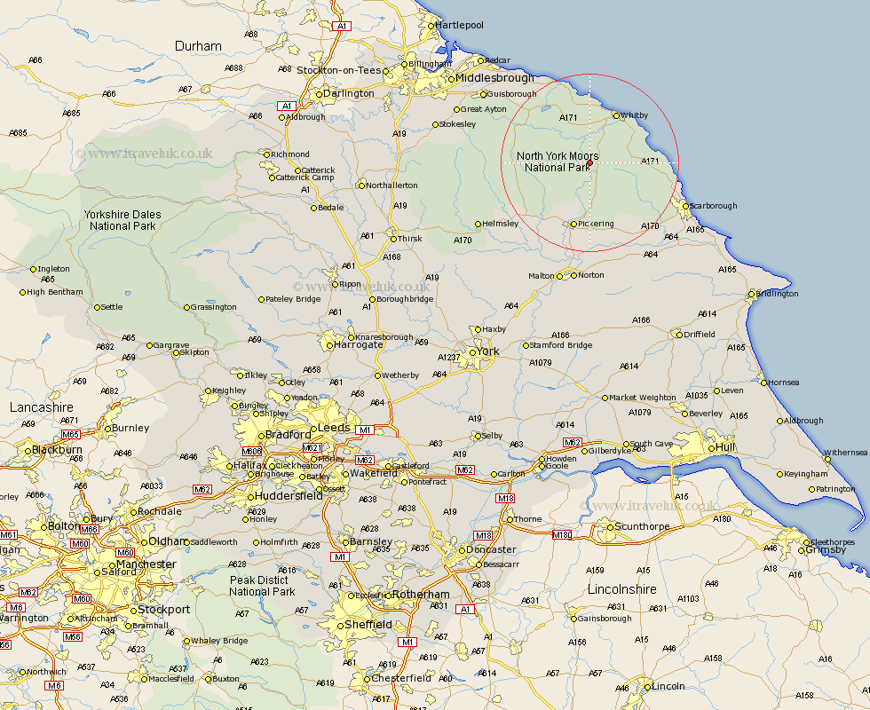
Yorkshire Map Showing Location of Goathland
Population: 407
District: Scarborough
Easting: 483336 Northing: 499420
Latitude: 54.38 Longitude: -0.72
 = Goathland
District: Scarborough
Easting: 483336 Northing: 499420
Latitude: 54.38 Longitude: -0.72
= Goathland
This Goathland map below is supplied by Google. Use the tools in the top left corner to zoom into street level or zoom out for a road map, you may also need to zoom in to see Goathland on the map. Click and drag the map to move around. If the map fails to load try and refresh your browser or zoom in or out (+ or -).
Update - it seems Google no longer allow people to use their maps for free! This Goathland map sometimes loads and sometimes gives a error. I am working on a solution.
Closest 30 Towns or Cities to Goathland (Population over 500)
Sleights 8.09km Hawsker 12.22km Fylingdales 12.44km Whitby 12.78km Pickering 15.17km Thornton-le-Dale 16.68km Thornton Dale 16.68km Hinderwell 16.99km Kirkby Moorside 19.12km Kirby Moorside 19.12km Cloughton 19.18km Burniston 19.8km Snainton 20.45km Yedingham 21.39km Loftus 21.44km Brompton 21.45km Scalby 21.47km Scarborough 22.33km Nawton 24.03km Brotton 24.74km Seamer 24.82km Skelton-in-Cleveland 25.31km Skelton 25.31km Ingleby 25.42km Rillington 25.96km Eastfield 26.46km Helmsley 27.11km Guisborough 27.25km Sherburn 27.36km Norton 27.61km