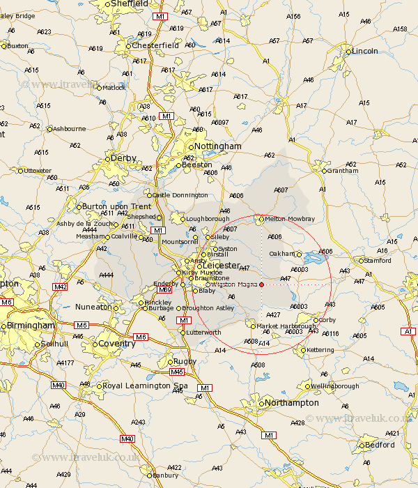
Leicestershire Map Showing Location of Goadby
Population: 43
District: Harborough
Easting: 475650 Northing: 299013
Latitude: 52.58 Longitude: -0.88
 = Goadby
District: Harborough
Easting: 475650 Northing: 299013
Latitude: 52.58 Longitude: -0.88
= Goadby
This Goadby map below is supplied by Google. Use the tools in the top left corner to zoom into street level or zoom out for a road map, you may also need to zoom in to see Goadby on the map. Click and drag the map to move around. If the map fails to load try and refresh your browser or zoom in or out (+ or -).
Update - it seems Google no longer allow people to use their maps for free! This Goadby map sometimes loads and sometimes gives a error. I am working on a solution.
Closest 30 Towns or Cities to Goadby (Population over 500)
Billesdon 3.85km Hallaton 5.01km Houghton 7.71km Houghton on the Hill 7.71km Houghton-on-the-Hill 7.71km Kibworth 8.75km Kibworth Harcourt 8.75km Twyford 9.54km Somerby 9.87km Great Glen 10.3km Great Bowden 11.18km Bowden 11.18km Great Easton 11.67km Market Harborough 13.16km Oadby 13.51km Lubenham 13.73km Gaddesby 14.14km Wigston 14.64km Wigston Magna 14.64km Queniborough 15.04km Queniboro 15.04km Glen Parva 15.88km Glen Parka 15.88km Syston 16.63km Countesthorpe 17.3km Frisby 17.6km Frisby on the Wreak 17.6km Frisby-on-the-Wreak 17.6km Leiscester 17.77km Leicester 17.77km