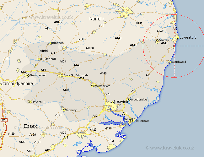
Suffolk Map Showing Location of Gisleham
Population: 549
District: Waveney
Easting: 652610 Northing: 288242
Latitude: 52.43 Longitude: 1.72
 = Gisleham
District: Waveney
Easting: 652610 Northing: 288242
Latitude: 52.43 Longitude: 1.72
= Gisleham
This Gisleham map below is supplied by Google. Use the tools in the top left corner to zoom into street level or zoom out for a road map, you may also need to zoom in to see Gisleham on the map. Click and drag the map to move around. If the map fails to load try and refresh your browser or zoom in or out (+ or -).
Update - it seems Google no longer allow people to use their maps for free! This Gisleham map sometimes loads and sometimes gives a error. I am working on a solution.
Closest 30 Towns or Cities to Gisleham (Population over 500)
Gisleham 0km Kessingland 1.85km Carlton Colville 2.17km Oulton 5.67km Lowestoft 6km Wrentham 6km Worlingham 9.23km Reydon 9.86km Corton 9.87km Beccles 10.82km Southwold 11.35km Wangford 11.48km Wenhaston 17.21km Halesworth 17.38km Holton 17.54km Bungay 18.17km Cookley 22.27km Yoxford 22.97km Leiston 27.87km Laxfield 28.01km Saxmundham 28.23km Fressingfield 29.75km Thorpeness 30.41km Thorpe 30.41km Snape 31.46km Aldeburgh 32.49km Stradbroke 33.19km Dennington 33.82km Framlingham 35.48km Hoxne 36.26km