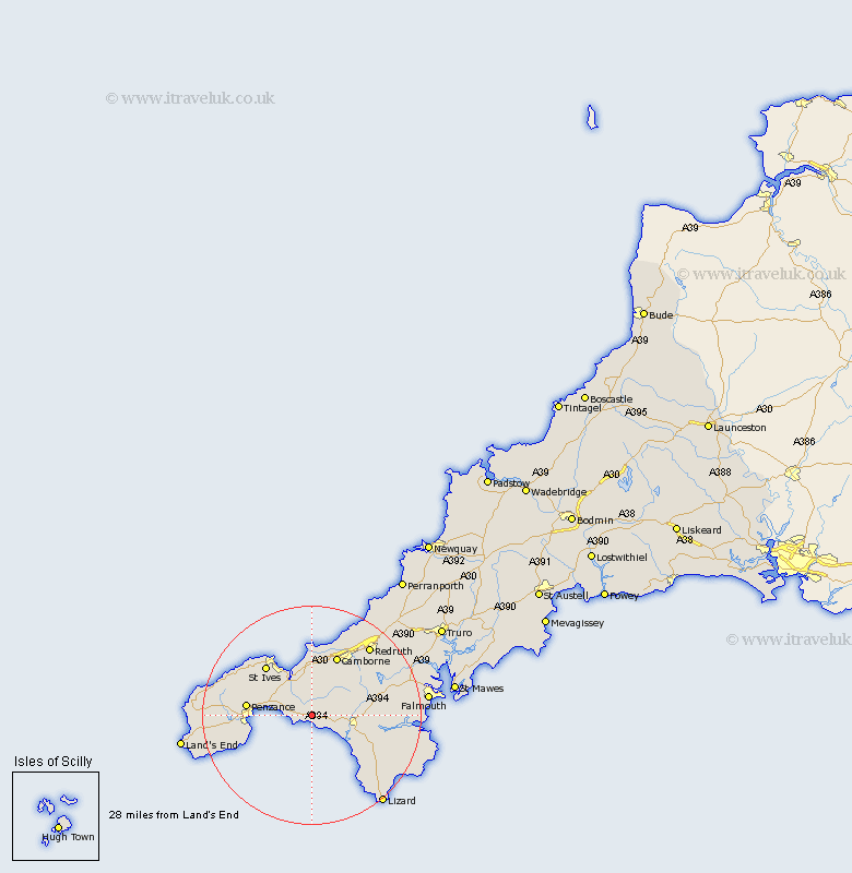
Cornwall Map Showing Location of Germoe
Population: 508
District: Kerrier
Easting: 158162 Northing: 29621
Latitude: 50.12 Longitude: -5.38
 = Germoe
District: Kerrier
Easting: 158162 Northing: 29621
Latitude: 50.12 Longitude: -5.38
= Germoe
This Germoe map below is supplied by Google. Use the tools in the top left corner to zoom into street level or zoom out for a road map, you may also need to zoom in to see Germoe on the map. Click and drag the map to move around. If the map fails to load try and refresh your browser or zoom in or out (+ or -).
Update - it seems Google no longer allow people to use their maps for free! This Germoe map sometimes loads and sometimes gives a error. I am working on a solution.
Closest 30 Towns or Cities to Germoe (Population over 500)
St. Hilary 2.38km St Hilary 2.38km Saint Hilary 2.38km Breage 4.02km Perranuthnoe 4.75km Porthleven 6.03km Marazion 6.22km Crowan 7km Ludgvan 7.36km Helston 7.37km Helstone 7.37km Hayle 7.41km Heyl 7.41km Gwinear 7.5km Wendron 9.68km Troon 11.03km Penzance 12.02km Gweek 12.03km Camborne 12.09km St Ives 12.45km St. Ives 12.45km Saint Ives 12.45km Madron 13.2km Mullion 14.64km Illogan 15.4km Constantine 15.45km Constatine 15.45km Sancreed 15.56km Stithians 16.06km Redruth 16.8km