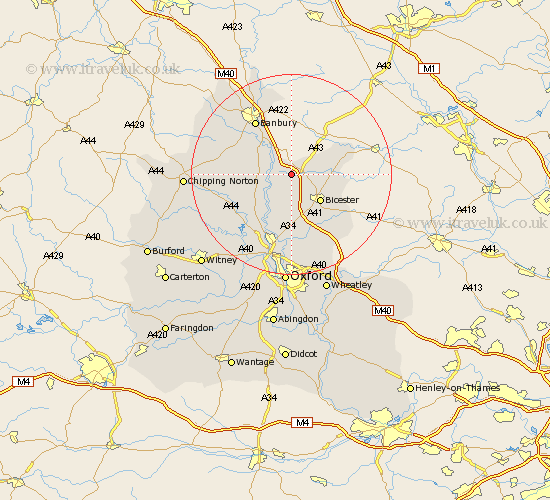
Oxfordshire Map Showing Location of Fritwell
Population: 668
District: Cherwell
Easting: 452685 Northing: 228270
Latitude: 51.95 Longitude: -1.23
 = Fritwell
District: Cherwell
Easting: 452685 Northing: 228270
Latitude: 51.95 Longitude: -1.23
= Fritwell
This Fritwell map below is supplied by Google. Use the tools in the top left corner to zoom into street level or zoom out for a road map, you may also need to zoom in to see Fritwell on the map. Click and drag the map to move around. If the map fails to load try and refresh your browser or zoom in or out (+ or -).
Update - it seems Google no longer allow people to use their maps for free! This Fritwell map sometimes loads and sometimes gives a error. I am working on a solution.
Closest 30 Towns or Cities to Fritwell (Population over 500)
Fritwell 0km Ardley 2.18km Upper Heyford 2.94km Caversfield 4.93km Steeple Aston 5.88km Deddington 6.81km Duns Tew 7.1km Adderbury 7.97km Bicester 7.97km Fringford 8km Chesterton 8.17km Kirtlington 9.54km Barford 9.86km Barford Saint John 9.86km Barford St. John 9.86km Barford St John 9.86km Bloxham 10.69km Tackley 10.88km Launton 10.91km Bletchingdon 11.35km Woodstock 12.5km Banbury 13.06km Ambrosden 13.7km Islip 14.82km Kidlington 15.21km Enstone 15.31km Bladon 16.85km Wardington 17.03km Wroxton 17.28km Yarnton 17.3km