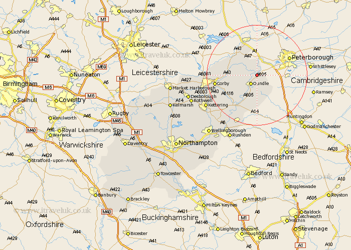
Northamptonshire Map Showing Location of Fotheringhay
Population: 123
District: East Northamptonshire
Easting: 506296 Northing: 292173
Latitude: 52.52 Longitude: -0.43
 = Fotheringhay
District: East Northamptonshire
Easting: 506296 Northing: 292173
Latitude: 52.52 Longitude: -0.43
= Fotheringhay
This Fotheringhay map below is supplied by Google. Use the tools in the top left corner to zoom into street level or zoom out for a road map, you may also need to zoom in to see Fotheringhay on the map. Click and drag the map to move around. If the map fails to load try and refresh your browser or zoom in or out (+ or -).
Update - it seems Google no longer allow people to use their maps for free! This Fotheringhay map sometimes loads and sometimes gives a error. I am working on a solution.
Closest 30 Towns or Cities to Fotheringhay (Population over 500)
Warmington 2.92km Nassington 3.87km Oundle 4.35km Kings Cliffe 7.16km King's Cliffe 7.16km Titchmarsh 13.41km Brigstock 13.5km Weldon 14.04km Thrapston 14.64km Stanion 15.69km Gretton 15.89km Corby 16.23km Islip 16.31km Woodford 18.97km Caldecott 19.17km Geddington 19.31km Ringstead 20.15km Raunds 21.49km Cottingham 21.75km Kettering 23.17km Stanwick 23.61km Burton Latimer 24.37km Finedon 24.49km Irthlingborough 24.95km Wilbarston 25.1km Isham 25.89km Higham Ferrers 26.16km Rothwell 27.21km Rowell 27.21km Desborough 27.57km