Essex Map Showing Location of Fordham
Population: 818
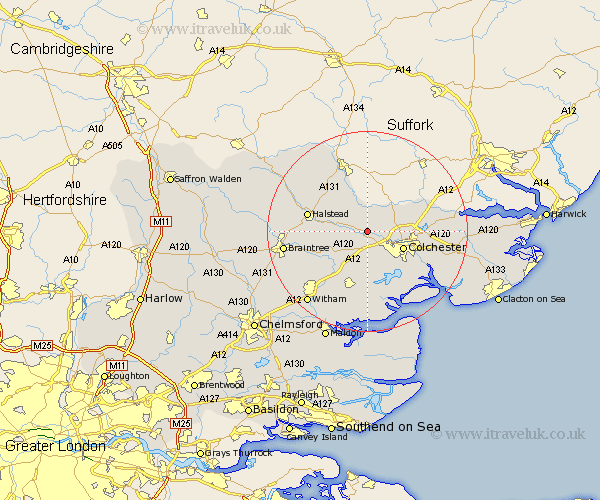
District: Colchester
Easting: 592541 Northing: 227994
Latitude: 51.92 Longitude: 0.8
 = Fordham
District: Colchester
Easting: 592541 Northing: 227994
Latitude: 51.92 Longitude: 0.8
= Fordham
This Fordham map below is supplied by Google. Use the tools in the top left corner to zoom into street level or zoom out for a road map, you may also need to zoom in to see Fordham on the map. Click and drag the map to move around. If the map fails to load try and refresh your browser or zoom in or out (+ or -).
Update - it seems Google no longer allow people to use their maps for free! This Fordham map sometimes loads and sometimes gives a error. I am working on a solution.
Closest 30 Towns or Cities to Fordham (Population over 500)
Chapel 2.29km Chappel 2.29km West Bergholt 2.29km Wakes Colne 3.43km Great Tey 3.9km Great Horkesley 4.93km Horkesley 4.93km Marks Tey 5.68km Earls Colne 7.1km Copford 7.42km Colchester 7.8km Boxted 8.81km Birch 9.34km Feering 9.37km Coggeshall 9.75km Layer de la Haye 9.89km Kelvedon 11.54km Halstead 12.01km Ardleigh 12.57km Rowhedge 12.69km Fingringhoe 13.03km Rivenhall 13.03km Peldon 13.07km Dedham 13.1km Stisted 13.12km Wyvenhoe 13.63km Winehoe 13.63km Wivenhoe 13.63km Bulmer 13.69km Bradwell 13.76km