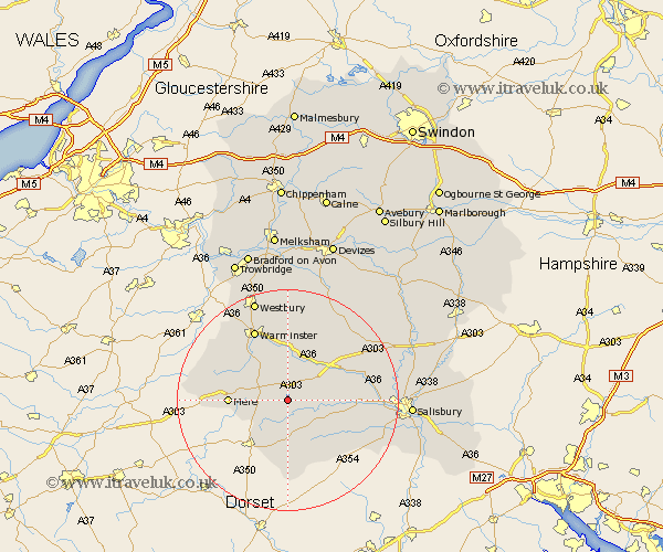
Wiltshire Map Showing Location of Fonthill Bishop
Population: 82
District: Salisbury
Easting: 392996 Northing: 131617
Latitude: 51.08 Longitude: -2.1
 = Fonthill Bishop
District: Salisbury
Easting: 392996 Northing: 131617
Latitude: 51.08 Longitude: -2.1
= Fonthill Bishop
This Fonthill Bishop map below is supplied by Google. Use the tools in the top left corner to zoom into street level or zoom out for a road map, you may also need to zoom in to see Fonthill Bishop on the map. Click and drag the map to move around. If the map fails to load try and refresh your browser or zoom in or out (+ or -).
Update - it seems Google no longer allow people to use their maps for free! This Fonthill Bishop map sometimes loads and sometimes gives a error. I am working on a solution.
Closest 30 Towns or Cities to Fonthill Bishop (Population over 500)
Tisbury 2.18km Hindon 2.98km Bishop's Knoyle 5.01km East Knoyle 5.01km Semley 6.57km Fovant 7.91km Dinton 8.15km Codford 8.2km Mere 10.48km Heytesbury 11.18km Longbridge Deverill 11.61km Steeple Langford 12.9km Longford 12.9km Broad Chalke 13.8km Warminster 14.22km Zeal 15.25km Zeals 15.25km Bishopstone 15.82km Wilton 16.3km South Newton 16.4km Shrewton 17.84km Dilton 18.08km Corsley 18.15km Combebissett 18.34km Coombe Bissett 18.34km Westbury 19.43km West Lavington 19.8km Edington 20.39km Bratton 20.43km New Sarum 22.2km