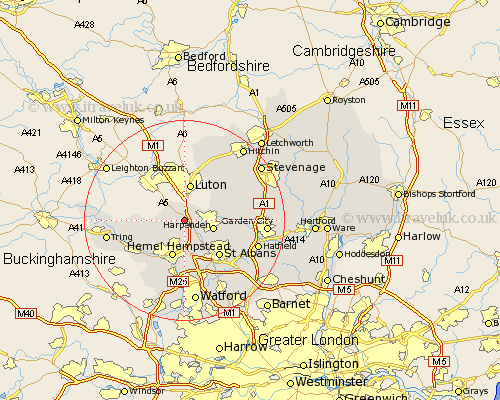
Hertfordshire Map Showing Location of Flamstead
Population: 1359
District: Dacorum
Easting: 507977 Northing: 214329
Latitude: 51.82 Longitude: -0.43
 = Flamstead
District: Dacorum
Easting: 507977 Northing: 214329
Latitude: 51.82 Longitude: -0.43
= Flamstead
This Flamstead map below is supplied by Google. Use the tools in the top left corner to zoom into street level or zoom out for a road map, you may also need to zoom in to see Flamstead on the map. Click and drag the map to move around. If the map fails to load try and refresh your browser or zoom in or out (+ or -).
Update - it seems Google no longer allow people to use their maps for free! This Flamstead map sometimes loads and sometimes gives a error. I am working on a solution.
Closest 30 Towns or Cities to Flamstead (Population over 500)
Markyate 2.17km Markyatestreet 2.17km Redbourn 5.06km Great Gaddesden 5.9km Harpenden 6.02km Hemel Hempstead 7.76km Little Gaddesden 8.23km St Albans 10.12km St. Albans 10.12km Saint Albans 10.12km Wheathampstead 10.48km Sandridge 10.72km Berkhampstead 10.93km Berkhamsted 10.93km Kimpton 10.95km Aldbury 11.61km Northchurch 11.72km Abbots Langley 13.03km Kings Langley 13.03km Great Offley 13.07km Offley 13.07km Bovingdon 13.08km Chipperfield 13.43km Codicote 14.23km Wigginton 14.84km Welwyn 15km London Colney 15.17km London Olney 15.17km Sarratt 15.23km Hatfield 15.26km