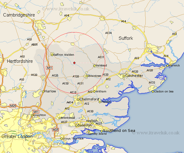
Essex Map Showing Location of Finchingfield
Population: 1348
District: Braintree
Easting: 568290 Northing: 232685
Latitude: 51.97 Longitude: 0.45
 = Finchingfield
District: Braintree
Easting: 568290 Northing: 232685
Latitude: 51.97 Longitude: 0.45
= Finchingfield
This Finchingfield map below is supplied by Google. Use the tools in the top left corner to zoom into street level or zoom out for a road map, you may also need to zoom in to see Finchingfield on the map. Click and drag the map to move around. If the map fails to load try and refresh your browser or zoom in or out (+ or -).
Update - it seems Google no longer allow people to use their maps for free! This Finchingfield map sometimes loads and sometimes gives a error. I am working on a solution.
Closest 30 Towns or Cities to Finchingfield (Population over 500)
Wethersfield 2.94km Great Sampford 3.89km Great Bardfield 4.36km Shalford 5.05km Thaxted 6km Toppesfield 6.8km Steeple Bumpstead 7.41km Radwinter 8.81km Sible Hedingham 9.13km Stebbing 9.55km Yeldham 9.73km Great Yeldham 9.73km Wenbech 9.85km Wimbeis 9.85km Wimbish 9.85km Wymbyshe 9.85km Gwimbach 9.85km Winebisc 9.85km Winbeche 9.85km Gosfield 9.86km Panfield 10.34km Castle Hedingham 10.44km Ridgwell 10.88km Ridgewell 10.88km Great Dunmow 10.89km Dunmow 10.89km Great Easton 10.91km Broxted 11.69km Braintree 12.25km Debden 12.56km