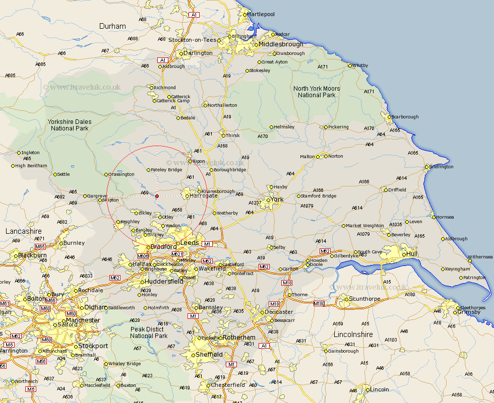
Yorkshire Map Showing Location of Fewston
Population: 139
District: Harrogate
Easting: 419670 Northing: 454201
Latitude: 53.98 Longitude: -1.7
 = Fewston
District: Harrogate
Easting: 419670 Northing: 454201
Latitude: 53.98 Longitude: -1.7
= Fewston
This Fewston map below is supplied by Google. Use the tools in the top left corner to zoom into street level or zoom out for a road map, you may also need to zoom in to see Fewston on the map. Click and drag the map to move around. If the map fails to load try and refresh your browser or zoom in or out (+ or -).
Update - it seems Google no longer allow people to use their maps for free! This Fewston map sometimes loads and sometimes gives a error. I am working on a solution.
Closest 30 Towns or Cities to Fewston (Population over 500)
Darley 5.56km Dacre 7.5km Hampsthwaite 7.52km Birstwith 7.79km Burley in Wharfedale 8.1km Burley 8.1km Otley 9.33km Killinghall 10.48km Ilkley 10.64km Pool-in-Wharfedale 10.75km Pool 10.75km Poole 10.75km Harrogate 10.9km Menston 11.33km Arthington Junction Station 11.34km Arthington 11.34km Weeton 11.44km Pannal 11.51km Bewerley 11.94km Bramhope 12.39km Guiseley 13.01km Yeadon 13.15km Addingham 13.22km Knaresborough 15.37km Baildon 15.45km Burton Leonard 16.02km Harewood 16.04km Bishop Monkton 17.15km Monkton 17.15km Bingley 17.2km