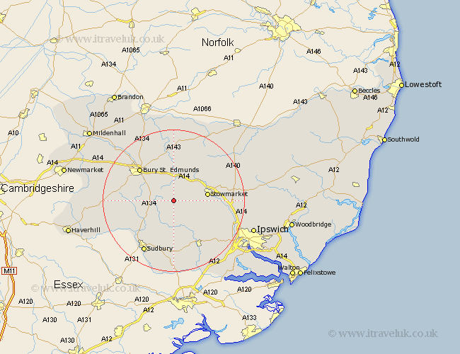
Suffolk Map Showing Location of Felsham
Population: 417
District: Mid Suffolk
Easting: 594887 Northing: 255922
Latitude: 52.17 Longitude: 0.85
 = Felsham
District: Mid Suffolk
Easting: 594887 Northing: 255922
Latitude: 52.17 Longitude: 0.85
= Felsham
This Felsham map below is supplied by Google. Use the tools in the top left corner to zoom into street level or zoom out for a road map, you may also need to zoom in to see Felsham on the map. Click and drag the map to move around. If the map fails to load try and refresh your browser or zoom in or out (+ or -).
Update - it seems Google no longer allow people to use their maps for free! This Felsham map sometimes loads and sometimes gives a error. I am working on a solution.
Closest 30 Towns or Cities to Felsham (Population over 500)
Rattlesden 2.93km Cockfield 4.91km Bradfield 5.03km Bradfield Saint George 5.03km Bradfield St George 5.03km Bradfield St. George 5.03km Finborough 5.68km Great Finborough 5.68km Woolpit 6.52km Hitcham 6.52km Rushbrooke 7.95km Lavenham 8.16km Lawshall 8.17km Elmswell 8.69km Bildeston 8.7km Stowmarket 9.28km Norton 9.33km Thurston 9.54km Ringshall 9.83km Haughley 10.65km Great Bricett 10.66km Pakenham 11.18km Great Waldingfield 12.01km Waldingfield 12.01km Great Barton 12.49km Old Newton 12.65km Bury St. Edmunds 12.97km Bury Saint Edmunds 12.97km Bury St Edmunds 12.97km Badwell Ash 13.74km