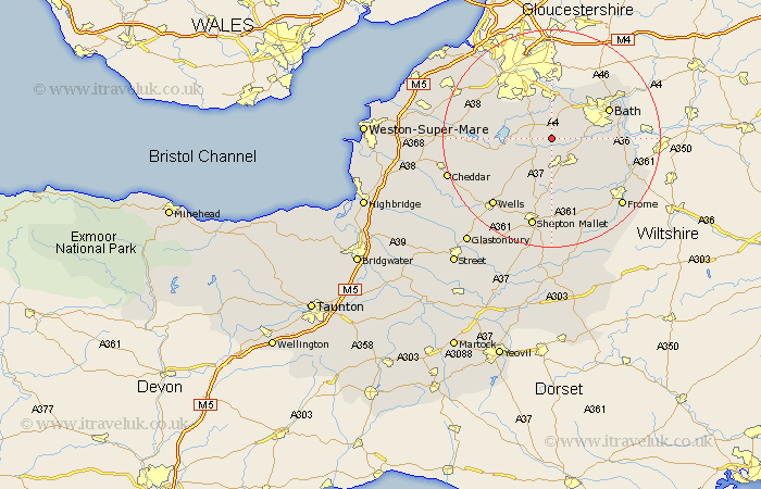
Somerset Map Showing Location of Farmborough
Population: 1103
Easting: 365170 Northing: 159530
Latitude: 51.33 Longitude: -2.5
 = Farmborough
Easting: 365170 Northing: 159530
Latitude: 51.33 Longitude: -2.5
= Farmborough
This Farmborough map below is supplied by Google. Use the tools in the top left corner to zoom into street level or zoom out for a road map, you may also need to zoom in to see Farmborough on the map. Click and drag the map to move around. If the map fails to load try and refresh your browser or zoom in or out (+ or -).
Update - it seems Google no longer allow people to use their maps for free! This Farmborough map sometimes loads and sometimes gives a error. I am working on a solution.
Closest 30 Towns or Cities to Farmborough (Population over 500)
Timsbury 2.18km Temple Cloud 2.21km Clutton 2.32km Paulton 3.7km Camerton 3.93km Publow 4.38km Compton Dando 5.68km Farrington Gurney 6.02km Stratton 7.41km Stratton-on-the-Fosse 7.41km Chilcompton 7.41km Stratton on the Fosse 7.41km Keynsham 7.42km Saltford 8.19km Wellow 8.32km Kilmersdon 8.74km Kilmersden 8.74km Whitchurch 8.74km Chew Magna 8.91km Great Chew 8.91km Chewton Mendip 9.4km Chew Stoke 9.45km East Harptree 9.98km Compton Martin 11.06km Holcombe 11.18km Winford 11.81km Bath 11.81km Dundry 11.86km Coleford 11.87km Norton St. Philip 12.16km