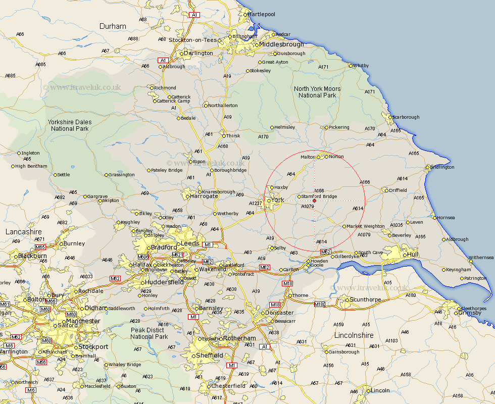
Yorkshire Map Showing Location of Fangfoss
Population: 602
Easting: 476526 Northing: 452943
Latitude: 53.97 Longitude: -0.83
 = Fangfoss
Easting: 476526 Northing: 452943
Latitude: 53.97 Longitude: -0.83
= Fangfoss
This Fangfoss map below is supplied by Google. Use the tools in the top left corner to zoom into street level or zoom out for a road map, you may also need to zoom in to see Fangfoss on the map. Click and drag the map to move around. If the map fails to load try and refresh your browser or zoom in or out (+ or -).
Update - it seems Google no longer allow people to use their maps for free! This Fangfoss map sometimes loads and sometimes gives a error. I am working on a solution.
Closest 30 Towns or Cities to Fangfoss (Population over 500)
Wilberfoss 3.76km Barmby on the Moor 3.87km Barmby 3.87km Barmby-on-the-Moor 3.87km Stamford Bridge 5.75km Pocklington 6.6km Sutton upon Derwent 7.79km Sutton 7.79km Melbourne 9.34km Wheldrake 12.74km Seaton Ross 13.02km Heslington 13.22km Earswick 14.64km Huntington 14.64km New Earswick 15.37km Holme upon Spalding Moor 15.46km Holme 15.46km Market Weighton 15.58km Strensall 16.02km Haxby 16.23km Wigginton 16.23km York 16.35km Sheriff Hutton 16.93km Escrick 16.95km Clifton 17.44km Bubwith 17.55km Wetwang 17.82km Bishopthorpe 17.84km Bishopthorne 17.84km Malton 18.59km