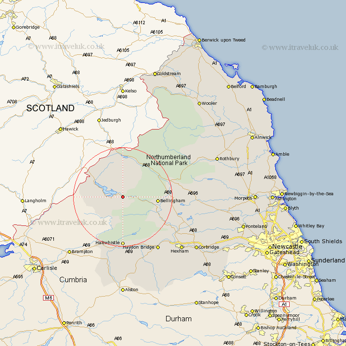
Northumberland Map Showing Location of Falstone
Population: 252
District: Tynedale
Easting: 372398 Northing: 585912
Latitude: 55.17 Longitude: -2.43
 = Falstone
District: Tynedale
Easting: 372398 Northing: 585912
Latitude: 55.17 Longitude: -2.43
= Falstone
This Falstone map below is supplied by Google. Use the tools in the top left corner to zoom into street level or zoom out for a road map, you may also need to zoom in to see Falstone on the map. Click and drag the map to move around. If the map fails to load try and refresh your browser or zoom in or out (+ or -).
Update - it seems Google no longer allow people to use their maps for free! This Falstone map sometimes loads and sometimes gives a error. I am working on a solution.
Closest 30 Towns or Cities to Falstone (Population over 500)
Bellingham 12.84km Wark 17.71km Otterburn 17.81km Haltwhistle 20.39km Humshaugh 24.17km Newbrough 24.43km Haydon Bridge 25.63km Challerton 25.88km Chollerton 25.88km Warden 27.94km Acomb 29.43km Hexham 30.74km Sandhoe 31.8km Corbridge 34.62km Rothbury 37.7km Stamfordham 38.98km Slaley 39.1km Riding 39.46km Ridingmill 39.46km Stocksfield 41.91km Ovingham 42.38km Longhorsley 42.95km Longframlington 43.21km Wylam 43.29km Prudhoe 44.28km Ponteland 45.36km Swarland 46.79km Morpeth 47.63km Hebron 47.66km Felton 48.28km