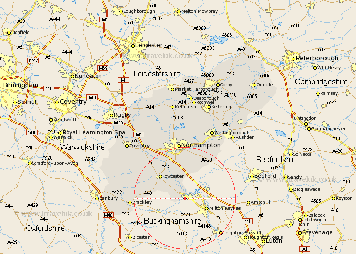
Northamptonshire Map Showing Location of Deanshanger
Population: 2699
Area Size (ha): 59
District: South Northamptonshire
Easting: 478851 Northing: 239738
Latitude: 52.05 Longitude: -0.85
 = Deanshanger
Area Size (ha): 59
District: South Northamptonshire
Easting: 478851 Northing: 239738
Latitude: 52.05 Longitude: -0.85
= Deanshanger
This Deanshanger map below is supplied by Google. Use the tools in the top left corner to zoom into street level or zoom out for a road map, you may also need to zoom in to see Deanshanger on the map. Click and drag the map to move around. If the map fails to load try and refresh your browser or zoom in or out (+ or -).
Update - it seems Google no longer allow people to use their maps for free! This Deanshanger map sometimes loads and sometimes gives a error. I am working on a solution.
Closest 30 Towns or Cities to Deanshanger (Population over 500)
Potterspury 2.94km Paulerspury 6.79km Hartwell 9.26km Whittlebury 9.84km Roade 11.35km Silverstone 11.98km Towcester 12.99km Blisworth 14.17km Hackleton 15km Wootton 15km Collingtree 15.21km Gayton 15.23km Milton 15.51km Syresham 16.06km Hardingstone 16.83km Pattishall 17.26km Denton 17.62km Yardley Hastings 18.48km Houghton 18.57km Great Houghton 18.57km Helmdon 19.72km Kislingbury 20.17km Bugbrooke 20.19km Brackley 20.6km Whiston 21.49km Harpole 22.32km Northampton 22.35km Great Billing 22.36km Billing 22.36km Bozeat 22.36km