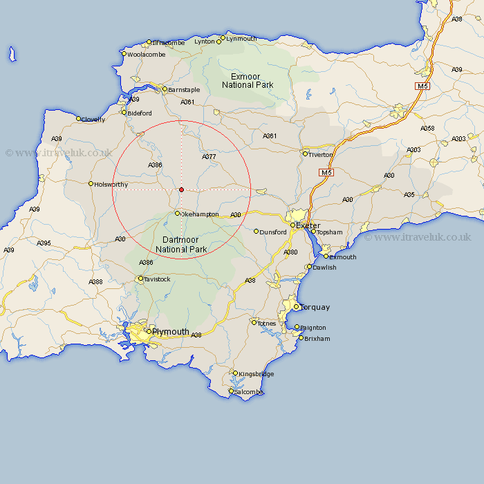
Devon Map Showing Location of Exbourne
Population: 318
District: West Devon
Easting: 260252 Northing: 101986
Latitude: 50.8 Longitude: -3.98
 = Exbourne
District: West Devon
Easting: 260252 Northing: 101986
Latitude: 50.8 Longitude: -3.98
= Exbourne
This Exbourne map below is supplied by Google. Use the tools in the top left corner to zoom into street level or zoom out for a road map, you may also need to zoom in to see Exbourne on the map. Click and drag the map to move around. If the map fails to load try and refresh your browser or zoom in or out (+ or -).
Update - it seems Google no longer allow people to use their maps for free! This Exbourne map sometimes loads and sometimes gives a error. I am working on a solution.
Closest 30 Towns or Cities to Exbourne (Population over 500)
Sampford Courtenay 2.99km Sampford Courtnay 2.99km Sampford Courtney 2.99km North Tawton 5.86km Hatherleigh 6.14km Okehampton 7.5km South Tawton 9.45km Dolton 9.91km Northlew 10.08km Nymet Tracey 11.71km Bow 11.71km Black Torrington 14.18km Lapford 14.86km Burrington 15.01km Barrington 15.01km Chawleigh 15.31km Chulmleigh 15.34km Bridestowe 15.36km Copplestone 16.4km Chagford 16.73km Morchard Bishop 17.31km Shebbear 17.31km Drewsteignton 17.93km Halwill 17.96km High Bickington 18.57km Cheriton Bishop 19.08km Langtree 19.99km Torrington 20.37km Great Torrington 20.37km Sandford 22.33km