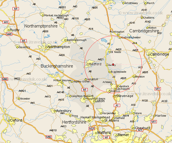
Bedfordshire Map Showing Location of Everton
Population: 525
District: Mid Bedfordshire
Easting: 520905 Northing: 249850
Latitude: 52.13 Longitude: -0.23
 = Everton
District: Mid Bedfordshire
Easting: 520905 Northing: 249850
Latitude: 52.13 Longitude: -0.23
= Everton
This Everton map below is supplied by Google. Use the tools in the top left corner to zoom into street level or zoom out for a road map, you may also need to zoom in to see Everton on the map. Click and drag the map to move around. If the map fails to load try and refresh your browser or zoom in or out (+ or -).
Update - it seems Google no longer allow people to use their maps for free! This Everton map sometimes loads and sometimes gives a error. I am working on a solution.
Closest 30 Towns or Cities to Everton (Population over 500)
Potton 2.93km Sandy 4.12km Tempsford 4.91km Blunham 5.69km Roxton 5.87km Cockayne Hatley 5.98km Biggleswade 6.01km Northill 6.79km Great Barford 8.18km Willington 9.1km Langford 9.54km Southill 10.32km Cople 10.4km Clifton 12.02km Shefford 13.05km Henlow 13.41km Campton and Chicksands 14.38km Bolnhurst 14.67km Stotfold 14.87km Arlesey 14.87km Arlesley 14.87km Wilhamstead 15.54km Willshamstead 15.54km Wilshamstead 15.54km Wilstead 15.54km Haynes 15.58km Stondon 15.88km Meppershall 16.32km Elstow 16.36km Thurleigh 16.53km