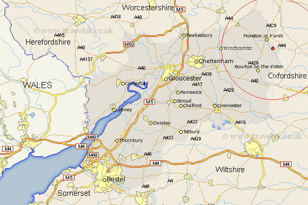
Gloucestershire Map Showing Location of Evenlode
Population: 155
District: Cotswold
Easting: 422906 Northing: 228045
Latitude: 51.95 Longitude: -1.67
 = Evenlode
District: Cotswold
Easting: 422906 Northing: 228045
Latitude: 51.95 Longitude: -1.67
= Evenlode
This Evenlode map below is supplied by Google. Use the tools in the top left corner to zoom into street level or zoom out for a road map, you may also need to zoom in to see Evenlode on the map. Click and drag the map to move around. If the map fails to load try and refresh your browser or zoom in or out (+ or -).
Update - it seems Google no longer allow people to use their maps for free! This Evenlode map sometimes loads and sometimes gives a error. I am working on a solution.
Closest 30 Towns or Cities to Evenlode (Population over 500)
Moreton in Marsh 4.35km Moreton in the Marsh 4.35km Moreton-in-Marsh 4.35km Stow-on-the-Wold 4.93km Stow on the Wold 4.93km Bledington 7.76km Blockley 9.36km Bourton-on-the-Water 10.89km Bourton on the Water 10.89km Ebrington 12.02km Chipping Campden 12.23km Mickleton 16.33km Northleach 16.56km Winchcombe 19.42km Winchcomb 19.42km Andoversford 21.53km Dumbleton 21.84km Alderton 23.13km Withington 23.38km Chedworth 23.93km Bibury 24.51km Southam 26.34km Quenington 27.15km Bishops Cleeve 27.41km Lechlade 27.89km Fairford 28.93km Charlton Kings 28.96km North Cerney 28.98km Cheltenham 29.11km Swindon 29.76km