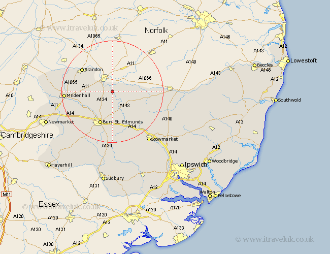
Suffolk Map Showing Location of Euston
Population: 137
District: St. Edmundsbury
Easting: 589474 Northing: 277982
Latitude: 52.37 Longitude: 0.78
 = Euston
District: St. Edmundsbury
Easting: 589474 Northing: 277982
Latitude: 52.37 Longitude: 0.78
= Euston
This Euston map below is supplied by Google. Use the tools in the top left corner to zoom into street level or zoom out for a road map, you may also need to zoom in to see Euston on the map. Click and drag the map to move around. If the map fails to load try and refresh your browser or zoom in or out (+ or -).
Update - it seems Google no longer allow people to use their maps for free! This Euston map sometimes loads and sometimes gives a error. I am working on a solution.
Closest 30 Towns or Cities to Euston (Population over 500)
Barnham 3.39km Honington 3.88km Troston 5.56km Bardwell 7.17km Barningham 8.14km Ixworth 8.16km Stanton 9.68km Hepworth 9.79km Hopton 10.18km Great Barton 11.18km Pakenham 11.63km Fornham All Saints 12.48km Badwell Ash 12.97km Thurston 13.17km Bury St. Edmunds 13.75km Bury Saint Edmunds 13.75km Bury St Edmunds 13.75km Norton 14.16km Brandon 14.62km Redgrave 14.71km Risby 15.09km Botesdale 16.28km Lakenheath 16.46km Lake Heath 16.46km Rushbrooke 16.72km Eriswell 16.97km Elmswell 17.39km Mildenhall 18.2km Wortham 18.2km Woolpit 18.47km