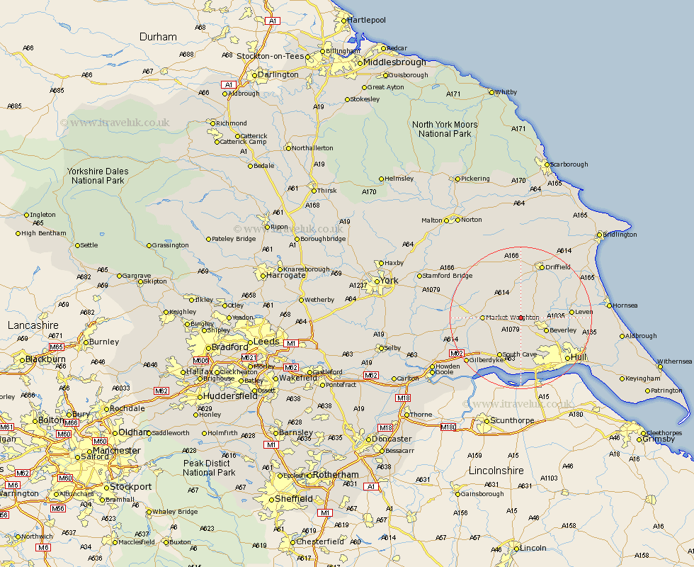
Yorkshire Map Showing Location of Etton
Population: 285
Easting: 497529 Northing: 442207
Latitude: 53.87 Longitude: -0.52
 = Etton
Easting: 497529 Northing: 442207
Latitude: 53.87 Longitude: -0.52
= Etton
This Etton map below is supplied by Google. Use the tools in the top left corner to zoom into street level or zoom out for a road map, you may also need to zoom in to see Etton on the map. Click and drag the map to move around. If the map fails to load try and refresh your browser or zoom in or out (+ or -).
Update - it seems Google no longer allow people to use their maps for free! This Etton map sometimes loads and sometimes gives a error. I am working on a solution.
Closest 30 Towns or Cities to Etton (Population over 500)
Cherry Burton 1.09km Bishop Burton 3.87km Lockington 4.3km Leconfield 4.37km Leckonfield 4.37km Beverley 7.54km Tickton 8.74km Market Weighton 9.84km Skidby 9.84km Woodmansey 10.37km Cranswick 10.75km North Frodingham 11.33km Willerby 11.95km South Cave 12.39km Cottingham 12.75km Wawne 13.21km Leven 13.24km Kirk Ella 13.69km North Cave 14.15km Swanland 14.99km Newport 15.07km Wetwang 15.18km Welton 15.19km Brandsburton 15.25km Brandesburton 15.25km Anlaby 15.81km Sutton 16.07km Sutton on Hull 16.07km Sutton-on-Hull 16.07km Driffield 16.5km