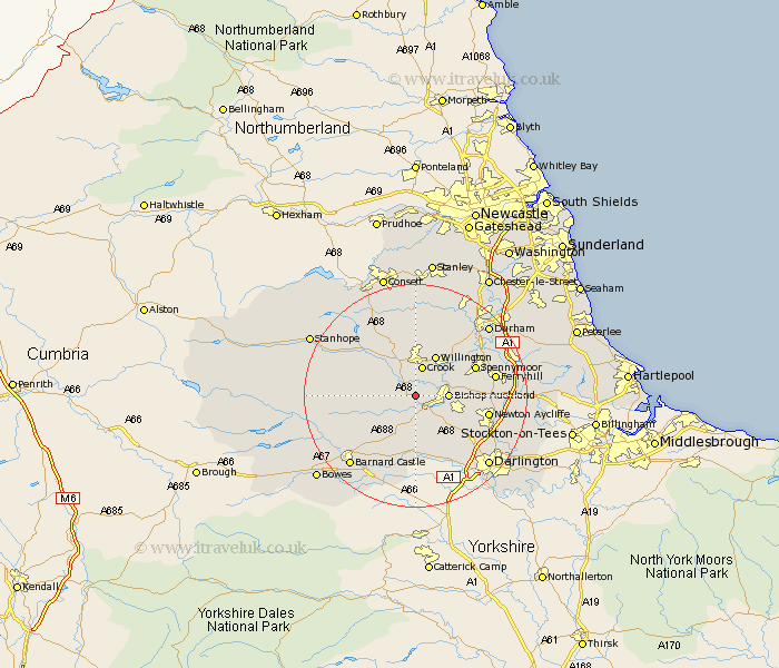
Durham Map Showing Location of Etherley
Population: 1830
Area Size (ha): 39
District: Teesdale
Easting: 416129 Northing: 528363
Latitude: 54.65 Longitude: -1.75
 = Etherley
Area Size (ha): 39
District: Teesdale
Easting: 416129 Northing: 528363
Latitude: 54.65 Longitude: -1.75
= Etherley
This Etherley map below is supplied by Google. Use the tools in the top left corner to zoom into street level or zoom out for a road map, you may also need to zoom in to see Etherley on the map. Click and drag the map to move around. If the map fails to load try and refresh your browser or zoom in or out (+ or -).
Update - it seems Google no longer allow people to use their maps for free! This Etherley map sometimes loads and sometimes gives a error. I am working on a solution.
Closest 30 Towns or Cities to Etherley (Population over 500)
West Auckland 2.14km Evenwood 3.86km Cockfield 4.91km Bishop Auckland 5.36km Crook 5.66km Coundon 6.69km Shildon 6.7km Willington 8.08km Staindrop 9.81km Tow Law 10.21km Spennymoor 11.09km Gainford 11.17km Wolsingham 11.33km Newton Aycliffe 12.37km Ferryhill 13.39km Brandon 14.04km Cornsay 14.86km Esh 15.17km Cornforth 16km West Cornforth 16km Ushaw Moor 16.15km Startforth 16.84km Barnard Castle 16.84km Langley Park 17.52km Durham 17.52km Bishop Middleham 17.54km Darlington 17.55km Bowburn 17.63km Cotherstone 17.65km Coxhoe 17.7km