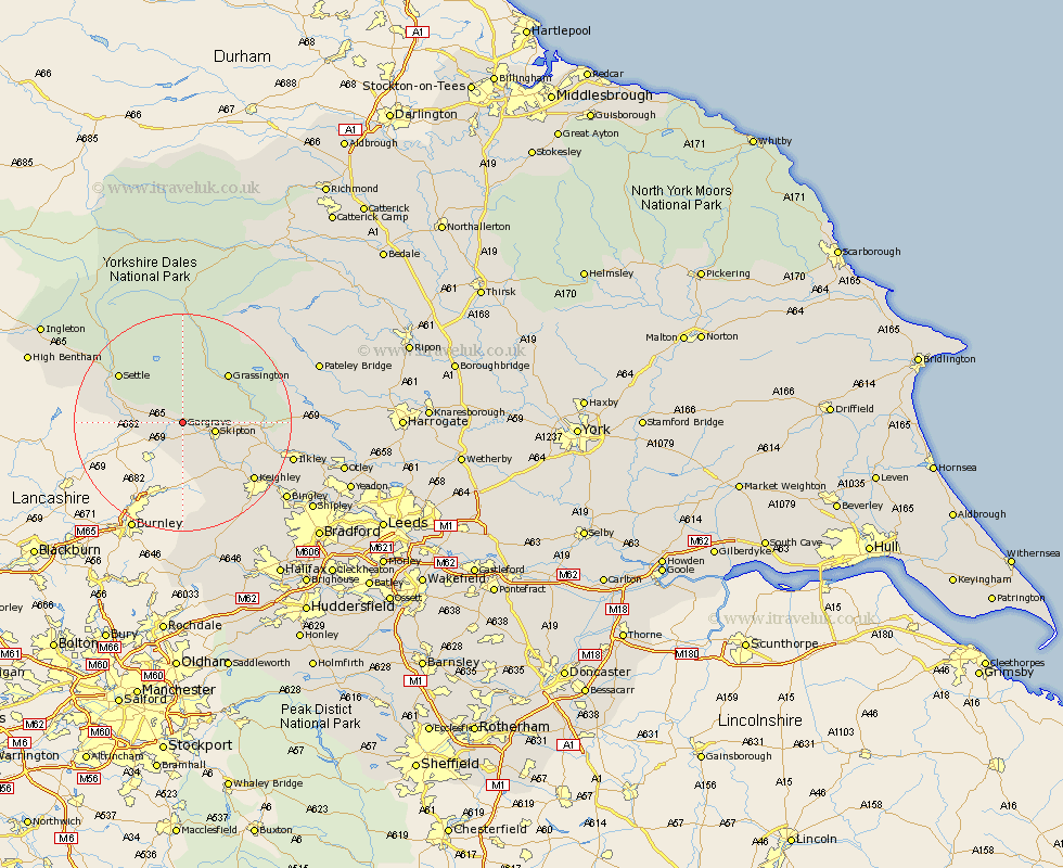
Yorkshire Map Showing Location of Eshton
Population: 76
District: Craven
Easting: 393443 Northing: 454164
Latitude: 53.98 Longitude: -2.1
 = Eshton
District: Craven
Easting: 393443 Northing: 454164
Latitude: 53.98 Longitude: -2.1
= Eshton
This Eshton map below is supplied by Google. Use the tools in the top left corner to zoom into street level or zoom out for a road map, you may also need to zoom in to see Eshton on the map. Click and drag the map to move around. If the map fails to load try and refresh your browser or zoom in or out (+ or -).
Update - it seems Google no longer allow people to use their maps for free! This Eshton map sometimes loads and sometimes gives a error. I am working on a solution.
Closest 30 Towns or Cities to Eshton (Population over 500)
Skipton 5.75km Carlton 6.45km Carleton 6.45km Earby 7.49km Hellifield 7.63km Embsay 7.85km Cononley 9.2km Threshfield 9.2km Long Preston 9.98km Glusburn 11.34km Grassington 12km Giggleswick 13.18km Sutton-in-Craven 13.49km Settle 14.3km Silsden 14.31km Steeton 14.83km Addingham 15.23km Keighley 16.36km Ilkley 19.96km Haworth 20.97km Clapham 22.6km Oxenhope 22.63km Cullingworth 22.69km Bingley 22.91km Wilsden 24.02km Burley in Wharfedale 24.07km Burley 24.07km Bewerley 24.44km Denholme 25.81km Dacre 26.12km