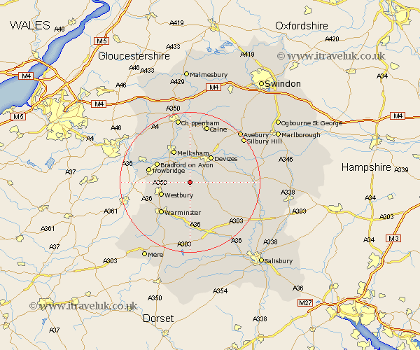
Wiltshire Map Showing Location of Erlestoke
Population: 522
District: Kennet
Easting: 395350 Northing: 153854
Latitude: 51.28 Longitude: -2.07
 = Erlestoke
District: Kennet
Easting: 395350 Northing: 153854
Latitude: 51.28 Longitude: -2.07
= Erlestoke
This Erlestoke map below is supplied by Google. Use the tools in the top left corner to zoom into street level or zoom out for a road map, you may also need to zoom in to see Erlestoke on the map. Click and drag the map to move around. If the map fails to load try and refresh your browser or zoom in or out (+ or -).
Update - it seems Google no longer allow people to use their maps for free! This Erlestoke map sometimes loads and sometimes gives a error. I am working on a solution.
Closest 30 Towns or Cities to Erlestoke (Population over 500)
Edington 2.96km Worton 3.71km Bratton 3.94km Steeple Ashton 4.99km Potterne 5.09km Lavington 5.8km Market Lavington 5.8km West Lavington 5.94km Seend 7.51km Rowde 7.77km Hilperton 8.92km Westbury 8.92km Semington 9.41km Devizes 9.41km Urchfont 9.46km Melksham 10.37km North Bradley 10.43km Bradford-on-Avon 10.81km Bradford on Avon 10.81km Dilton 10.82km Roundway 10.93km Southwick 11.59km Heytesbury 11.65km Holt 11.87km Trowbridge 12.17km Broughton Gifford 12.32km Bishops Cannings 12.32km Warminster 12.32km Lacock 13.43km Laycock 13.43km