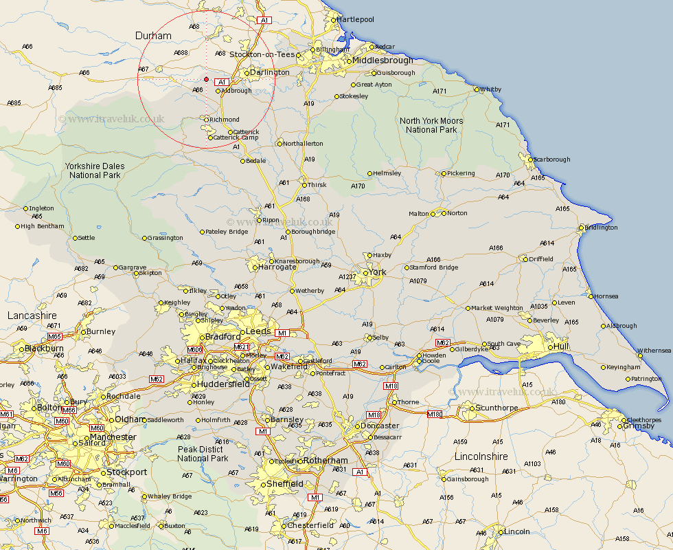
Yorkshire Map Showing Location of Eppleby
Population: 276
District: Richmondshire
Easting: 417261 Northing: 513536
Latitude: 54.52 Longitude: -1.73
 = Eppleby
District: Richmondshire
Easting: 417261 Northing: 513536
Latitude: 54.52 Longitude: -1.73
= Eppleby
This Eppleby map below is supplied by Google. Use the tools in the top left corner to zoom into street level or zoom out for a road map, you may also need to zoom in to see Eppleby on the map. Click and drag the map to move around. If the map fails to load try and refresh your browser or zoom in or out (+ or -).
Update - it seems Google no longer allow people to use their maps for free! This Eppleby map sometimes loads and sometimes gives a error. I am working on a solution.
Closest 30 Towns or Cities to Eppleby (Population over 500)
Melsonby 4.92km Barton 7.74km Middleton Tyas 9.16km Gilling 9.34km Richmond 12.98km East Cowton 17.05km Cowton 17.05km Scorton 17.16km North Cowton 17.57km Catterick 17.89km Leyburn 24.69km Crakehall 25.25km Middleham 26.51km Brompton 27.62km Bedale 27.71km Northallerton 28.15km Middleton 30.65km Middleton upon Leven 30.65km Osmotherley 32.61km Whorlton 33.15km Masham 33.79km Seamer 33.83km Stokesley 34.89km Bradley 36.62km Tanfield 36.83km West Tanfield 36.83km Great Broughton 37.35km Grewelthorpe 37.46km Middlesborough 38.04km Middlesbrough 38.04km