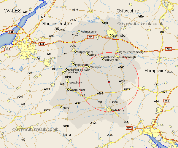
Wiltshire Map Showing Location of Enford
Population: 572
District: Kennet
Easting: 413957 Northing: 150168
Latitude: 51.25 Longitude: -1.8
 = Enford
District: Kennet
Easting: 413957 Northing: 150168
Latitude: 51.25 Longitude: -1.8
= Enford
This Enford map below is supplied by Google. Use the tools in the top left corner to zoom into street level or zoom out for a road map, you may also need to zoom in to see Enford on the map. Click and drag the map to move around. If the map fails to load try and refresh your browser or zoom in or out (+ or -).
Update - it seems Google no longer allow people to use their maps for free! This Enford map sometimes loads and sometimes gives a error. I am working on a solution.
Closest 30 Towns or Cities to Enford (Population over 500)
Enford 0km Netheravon 2.19km Figheldean 3.88km Upavon 3.88km Bulford 6.02km Lark Hill 7.5km Durrington 7.77km Amesbury 9.34km Tidworth 9.46km North Tidworth 9.46km Pewsey 9.89km Shrewton 10.17km Urchfont 10.81km Collingbourne Ducis 11.07km Lugershall 11.83km Ludgershall 11.83km Burbage 13.1km Lavington 13.28km Market Lavington 13.28km West Lavington 13.92km Idmiston 14.22km Grafton 14.83km Longford 15.96km Steeple Langford 15.96km Bishops Cannings 16.65km Potterne 16.8km Devizes 16.91km Winterbourne Dauntsey 17.04km Winterbourne 17.04km South Newton 17.32km