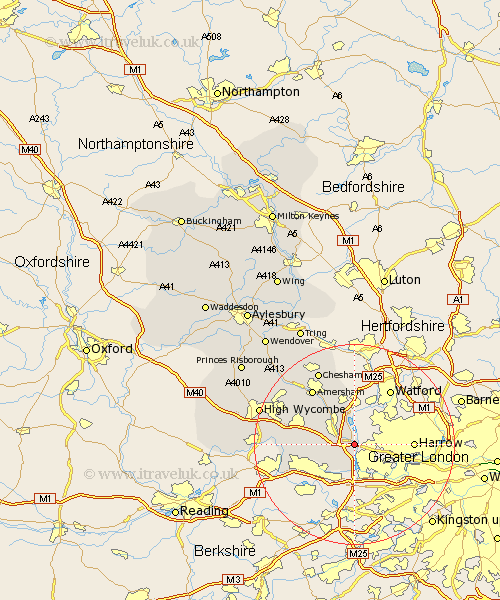
Buckinghamshire Map Showing Location of Denham
Population: 6548
District: South Bucks
Easting: 503954 Northing: 186432
Latitude: 51.57 Longitude: -0.5
 = Denham
District: South Bucks
Easting: 503954 Northing: 186432
Latitude: 51.57 Longitude: -0.5
= Denham
This Denham map below is supplied by Google. Use the tools in the top left corner to zoom into street level or zoom out for a road map, you may also need to zoom in to see Denham on the map. Click and drag the map to move around. If the map fails to load try and refresh your browser or zoom in or out (+ or -).
Update - it seems Google no longer allow people to use their maps for free! This Denham map sometimes loads and sometimes gives a error. I am working on a solution.
Closest 30 Towns or Cities to Denham (Population over 500)
Fulmer 3.92km Chalfont St Peter 5.06km Chalfont Saint Peter 5.06km Chalfont St. Peter 5.06km Gerrards Cross 5.32km Hedgerley 6.91km Chalfont St Giles 7.22km Chalfont Saint Giles 7.22km Chalfont St. Giles 7.22km Iver 7.42km Iver Heath 7.43km Farnham Royal 8.88km Beaconsfield 9.93km Burnham 11.77km Wooburn 12.67km Dorney 12.75km Latimer 13.42km Amersham 13.73km Bourne End 13.82km Penn 13.83km Taplow 13.84km Flackwell Heath 14.31km Little Missenden 16km Little Marlow 16.23km Chesham 16.35km Hazlemere 16.63km Marlow 18.43km Great Marlow 18.43km Hughenden 18.59km Chepping 19.85km