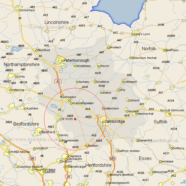
Cambridgeshire Map Showing Location of Eltisley
Population: 421
District: South Cambridgeshire
Easting: 527510 Northing: 259295
Latitude: 52.22 Longitude: -0.13
 = Eltisley
District: South Cambridgeshire
Easting: 527510 Northing: 259295
Latitude: 52.22 Longitude: -0.13
= Eltisley
This Eltisley map below is supplied by Google. Use the tools in the top left corner to zoom into street level or zoom out for a road map, you may also need to zoom in to see Eltisley on the map. Click and drag the map to move around. If the map fails to load try and refresh your browser or zoom in or out (+ or -).
Update - it seems Google no longer allow people to use their maps for free! This Eltisley map sometimes loads and sometimes gives a error. I am working on a solution.
Closest 30 Towns or Cities to Eltisley (Population over 500)
Papworth 2.17km Papworth Everard 2.17km Great Gransden 3.71km Gransden 3.71km Elsworth 5.86km Hilton 6.01km Great Paxton 6.78km Bourn 6.79km Gamlingay 8.16km Offord 8.69km Offord Cluny 8.69km Little Paxton 8.77km Toft 8.78km St Neots 9.08km Saint Neots 9.08km St. Neots 9.08km Eaton Socon 10.22km Fen Stanton 10.31km Saint Ives 10.31km St Ives 10.31km St. Ives 10.31km Hail Weston 10.38km Hardwicke 10.39km Hardwick 10.39km Buckden 10.86km Hemingford 11.18km Hemingford Grey 11.18km Hemingford Abbots 11.35km West Hemingford 11.35km Durolipons 11.35km