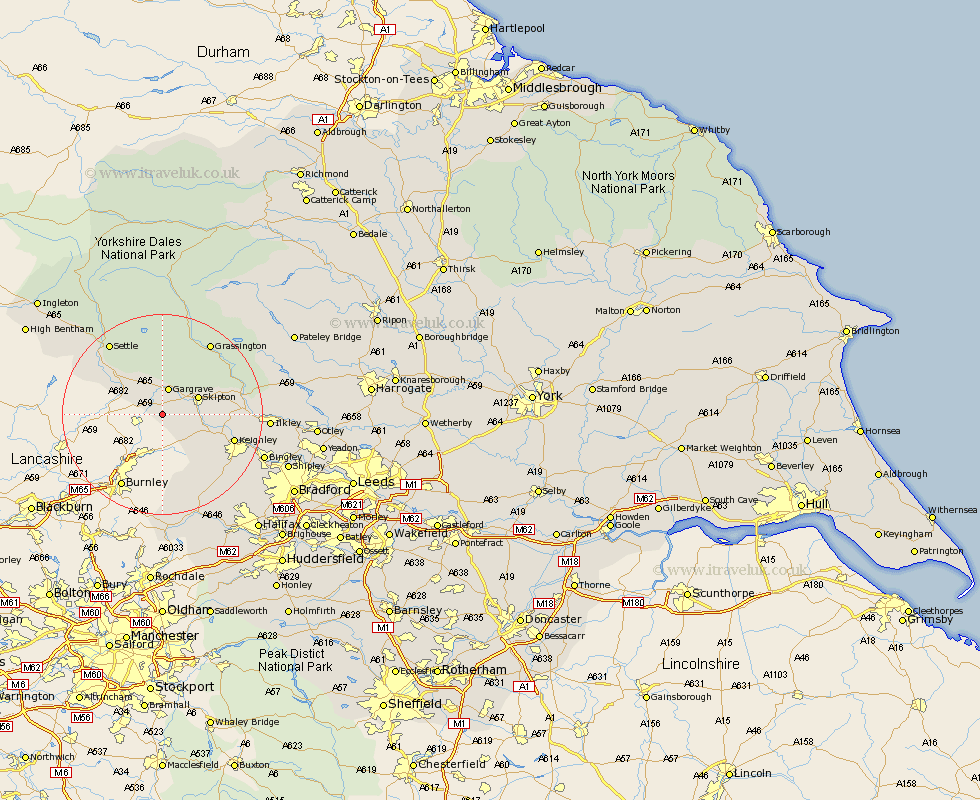
Yorkshire Map Showing Location of Elslack
Population: 85
District: Craven
Easting: 392340 Northing: 448603
Latitude: 53.93 Longitude: -2.12
 = Elslack
District: Craven
Easting: 392340 Northing: 448603
Latitude: 53.93 Longitude: -2.12
= Elslack
This Elslack map below is supplied by Google. Use the tools in the top left corner to zoom into street level or zoom out for a road map, you may also need to zoom in to see Elslack on the map. Click and drag the map to move around. If the map fails to load try and refresh your browser or zoom in or out (+ or -).
Update - it seems Google no longer allow people to use their maps for free! This Elslack map sometimes loads and sometimes gives a error. I am working on a solution.
Closest 30 Towns or Cities to Elslack (Population over 500)
Earby 1.85km Carlton 4.36km Carleton 4.36km Gargrave 5.67km Cononley 6.8km Skipton 7.52km Glusburn 8.49km Hellifield 8.59km Embsay 9.48km Sutton-in-Craven 10.35km Long Preston 11.45km Steeton 12.25km Silsden 12.57km Keighley 14.23km Threshfield 14.53km Addingham 15.28km Giggleswick 16.26km Haworth 16.96km Grassington 17.2km Settle 17.78km Oxenhope 18.42km Cullingworth 19.23km Ilkley 19.73km Bingley 20.75km Wilsden 20.9km Hebden Bridge 21.41km Heptonstall 21.41km Denholme 21.91km Cornholme 22.35km Queensbury 22.7km