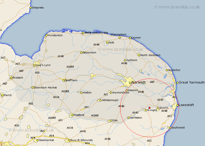
Norfolk Map Showing Location of Ellingham
Population: 532
District: South Norfolk
Easting: 636577 Northing: 291164
Latitude: 52.47 Longitude: 1.48
 = Ellingham
District: South Norfolk
Easting: 636577 Northing: 291164
Latitude: 52.47 Longitude: 1.48
= Ellingham
This Ellingham map below is supplied by Google. Use the tools in the top left corner to zoom into street level or zoom out for a road map, you may also need to zoom in to see Ellingham on the map. Click and drag the map to move around. If the map fails to load try and refresh your browser or zoom in or out (+ or -).
Update - it seems Google no longer allow people to use their maps for free! This Ellingham map sometimes loads and sometimes gives a error. I am working on a solution.
Closest 30 Towns or Cities to Ellingham (Population over 500)
Ditchingham 3.39km Earsham 4.88km Loddon 5.67km Chedgrave 7.49km Thurlton 9.31km Thurton 9.86km Reedham 10.84km Cantley 11.35km Brooke 11.47km Fritton 12.57km Poringland 12.93km Hempnall 12.96km Freethorpe 13.73km Harleston 15.45km Stoke Holy Cross 15.48km Saxlingham Thorpe 16.43km Saxlingham 16.43km Lingwood 16.68km Pulham 16.76km Blofield 16.83km Brundall 17.02km Long Stratton 17.03km Belton 17.52km Brockdish 18.43km Hopton-on-Sea 18.47km Hopton 18.47km Hopton on Sea 18.47km Acle 19.07km Mulbarton 19.29km Swardeston 19.31km