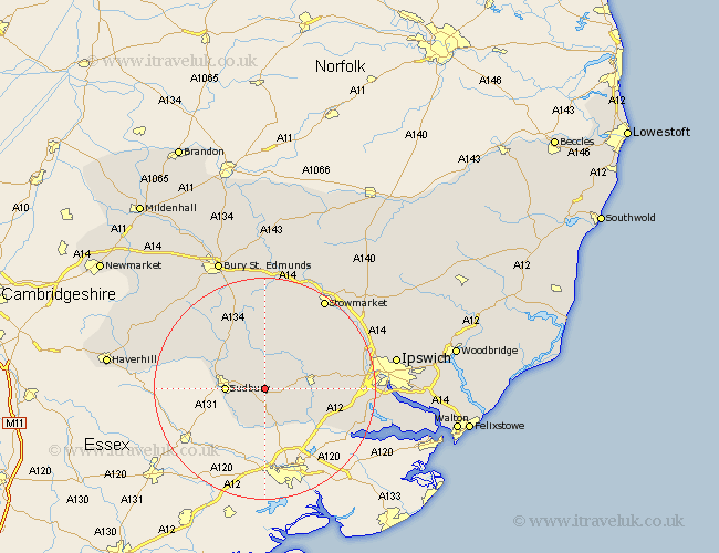
Suffolk Map Showing Location of Edwardstone
Population: 343
District: Babergh
Easting: 594327 Northing: 241046
Latitude: 52.03 Longitude: 0.83
 = Edwardstone
District: Babergh
Easting: 594327 Northing: 241046
Latitude: 52.03 Longitude: 0.83
= Edwardstone
This Edwardstone map below is supplied by Google. Use the tools in the top left corner to zoom into street level or zoom out for a road map, you may also need to zoom in to see Edwardstone on the map. Click and drag the map to move around. If the map fails to load try and refresh your browser or zoom in or out (+ or -).
Update - it seems Google no longer allow people to use their maps for free! This Edwardstone map sometimes loads and sometimes gives a error. I am working on a solution.
Closest 30 Towns or Cities to Edwardstone (Population over 500)
Boxford 2.93km Great Cornard 4.56km Great Waldingfield 5.05km Waldingfield 5.05km Polstead 5.88km Sudbury 6.84km Lavenham 7.76km Hadleigh 8.19km Long Melford 8.8km Layham 9.31km Bildeston 9.35km Hitcham 10.33km Cockfield 13.42km Glemsford 13.59km Great Bricett 13.82km East Bergholt 14.57km Lawshall 14.66km Cavendish 14.76km Hintlesham 14.93km Ringshall 15.12km Finborough 16.33km Great Finborough 16.33km Capel St. Mary 16.39km Capel Saint Mary 16.39km Capel 16.39km Capel St Mary 16.39km Somersham 16.56km Rattlesden 17.03km Clare 17.97km Bentley 17.99km