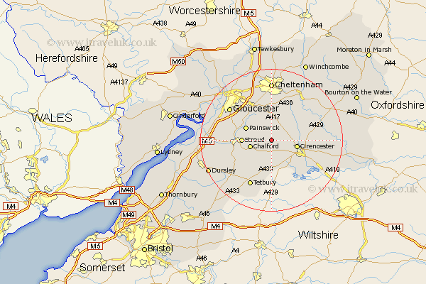
Gloucestershire Map Showing Location of Edgeworth
Population: 99
District: Cotswold
Easting: 394248 Northing: 205754
Latitude: 51.75 Longitude: -2.08
 = Edgeworth
District: Cotswold
Easting: 394248 Northing: 205754
Latitude: 51.75 Longitude: -2.08
= Edgeworth
This Edgeworth map below is supplied by Google. Use the tools in the top left corner to zoom into street level or zoom out for a road map, you may also need to zoom in to see Edgeworth on the map. Click and drag the map to move around. If the map fails to load try and refresh your browser or zoom in or out (+ or -).
Update - it seems Google no longer allow people to use their maps for free! This Edgeworth map sometimes loads and sometimes gives a error. I am working on a solution.
Closest 30 Towns or Cities to Edgeworth (Population over 500)
Chalford 6.03km Cirencester 7.13km Cicester 7.13km Painswick 7.82km Minchinhampton 7.99km Stroud 8.03km North Cerney 8.24km Avening 9.38km Nailsworth 10.94km Woodchester 10.97km Randwick 11.62km Siddington 11.81km Brockworth 12.51km Horsley 12.72km Chedworth 12.74km Leckhampton 12.98km Charlton Kings 13.03km Withington 13.03km Hucclecote 13.07km Shurdington 13.18km Stonehouse 13.77km Tetbury 14.19km Gloucester 14.74km South Cerney 14.75km Cerney 14.75km Ampney Saint Peter 14.85km Ampney St Peter 14.85km Ampney St. Peter 14.85km Ampney 14.85km Quedgeley 15.63km