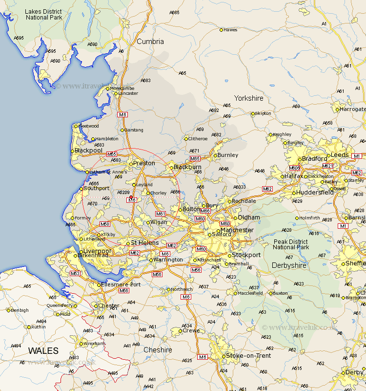
Lancashire Map Showing Location of Eccleston
Population: 4926
Area Size (ha): 118
District: Chorley
Easting: 352615 Northing: 415461
Latitude: 53.63 Longitude: -2.72
 = Eccleston
Area Size (ha): 118
District: Chorley
Easting: 352615 Northing: 415461
Latitude: 53.63 Longitude: -2.72
= Eccleston
This Eccleston map below is supplied by Google. Use the tools in the top left corner to zoom into street level or zoom out for a road map, you may also need to zoom in to see Eccleston on the map. Click and drag the map to move around. If the map fails to load try and refresh your browser or zoom in or out (+ or -).
Update - it seems Google no longer allow people to use their maps for free! This Eccleston map sometimes loads and sometimes gives a error. I am working on a solution.
Closest 30 Towns or Cities to Eccleston (Population over 500)
Penrith 2.16km Mawdesley 3.78km Euxton 3.78km Croston 3.78km Coppull 4.77km Leyland 5.67km Parbold 6.46km Standish 6.46km Bretherton 6.63km Chorley 6.85km Appley Bridge 7.41km Heapey 7.57km Shevington 7.73km Rufford 7.91km Tarleton 8.54km Adlington 8.54km Hoole 9.23km Much Hoole 9.23km Farington 9.34km Farrington 9.34km Burscough 9.49km Haigh 9.54km Lathom 9.92km Blackrod 10.41km Longton 10.78km Brinscall 11.34km Hutton 11.6km Horwich 11.6km Skelmersdale 12.41km Hoghton 12.77km