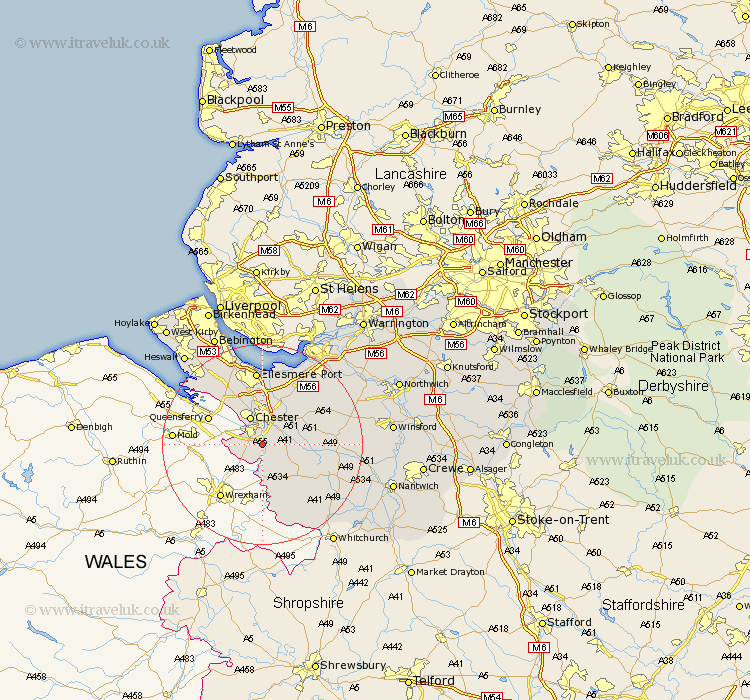
Cheshire Map Showing Location of Eccleston
Population: 184
District: Chester
Easting: 340931 Northing: 361825
Latitude: 53.15 Longitude: -2.88
 = Eccleston
District: Chester
Easting: 340931 Northing: 361825
Latitude: 53.15 Longitude: -2.88
= Eccleston
This Eccleston map below is supplied by Google. Use the tools in the top left corner to zoom into street level or zoom out for a road map, you may also need to zoom in to see Eccleston on the map. Click and drag the map to move around. If the map fails to load try and refresh your browser or zoom in or out (+ or -).
Update - it seems Google no longer allow people to use their maps for free! This Eccleston map sometimes loads and sometimes gives a error. I am working on a solution.
Closest 30 Towns or Cities to Eccleston (Population over 500)
Dodleston 4.82km Christleton 4.98km Waverton 5.86km Chester 5.99km Farndon 7.42km Great Barrow 7.86km Barrow 7.86km Tattenhall 8.62km Mickle Trafford 8.64km Great Saughall 8.65km Saughall 8.65km Mollington 9.53km Tarvin 9.56km Harthill 11.58km Elton 11.97km Tilston 11.98km Dunham on the Hill 12.43km Dunham 12.43km Dunham-on-the-Hill 12.43km Ashton 12.45km Tarporley 14.45km Ellesmere Port 14.86km Helsby 15.12km Kelsall Hill 15.25km Kelsall 15.25km Kelshall Hill 15.25km Bunbury 16km Delamere 16.23km Willaston 16.73km Malpas 16.75km