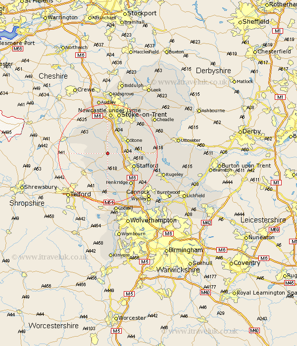
Staffordshire Map Showing Location of Eccleshall
Population: 2693
Area Size (ha): 71
District: Stafford
Easting: 383165 Northing: 328121
Latitude: 52.85 Longitude: -2.25
 = Eccleshall
Area Size (ha): 71
District: Stafford
Easting: 383165 Northing: 328121
Latitude: 52.85 Longitude: -2.25
= Eccleshall
This Eccleshall map below is supplied by Google. Use the tools in the top left corner to zoom into street level or zoom out for a road map, you may also need to zoom in to see Eccleshall on the map. Click and drag the map to move around. If the map fails to load try and refresh your browser or zoom in or out (+ or -).
Update - it seems Google no longer allow people to use their maps for free! This Eccleshall map sometimes loads and sometimes gives a error. I am working on a solution.
Closest 30 Towns or Cities to Eccleshall (Population over 500)
Seighford 5.81km High Offley 5.9km Adbaston 6.97km Gnosall 7.42km Gnossall 7.42km Swinnerton 7.75km Swynnerton 7.75km Standon 7.75km Haughton 8.14km Stone 9.6km Hopton 10.24km Church Eaton 11.18km Stafford 11.51km Barlaston 12.44km Whitmore 13.17km Hilderstone 13.42km Wheaton Aston 14.99km Blymhill 14.99km Bednall 15.42km Penkridge 15.77km Weston upon Trent 15.78km Weston 15.78km Fulford 16.58km Newcastle-under-Lyme 16.72km Newcastle under Lyme 16.72km Keele 16.83km Weston 16.83km Weston-under-Lizard 16.83km Weston under Lizard 16.83km Stoke upon Trent 17.27km