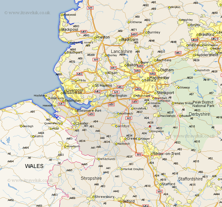
Cheshire Map Showing Location of Eaton
Population: 289
District: Macclesfield
Easting: 386636 Northing: 365184
Latitude: 53.18 Longitude: -2.2
 = Eaton
District: Macclesfield
Easting: 386636 Northing: 365184
Latitude: 53.18 Longitude: -2.2
= Eaton
This Eaton map below is supplied by Google. Use the tools in the top left corner to zoom into street level or zoom out for a road map, you may also need to zoom in to see Eaton on the map. Click and drag the map to move around. If the map fails to load try and refresh your browser or zoom in or out (+ or -).
Update - it seems Google no longer allow people to use their maps for free! This Eaton map sometimes loads and sometimes gives a error. I am working on a solution.
Closest 30 Towns or Cities to Eaton (Population over 500)
Congleton 3.7km Gawsworth 4.33km Brereton cum Smethwick 9.08km Brereton 9.08km Rode Heath 9.26km Macclesfield 9.26km Chelford 10.28km Goostrey 10.48km Holmes Chapel 11.26km Alderley 11.34km Nether Alderley 11.34km Alsager 11.41km Prestbury 11.61km Prestburg 11.61km Sandbach 12.43km Peover 12.44km Peover Superior 12.44km Alderley Edge 13.16km Rainow 14.23km Bollington 15.12km Adlington 15.48km Middlewick 15.55km Middlewich 15.55km Mobberley 16.74km Wilmslow 16.83km Knutsford 17.07km Plumbley 17.15km Plumley Station 17.15km Crewe 18.11km Poynton 19.35km